UN/LOCODE hub · Thailand
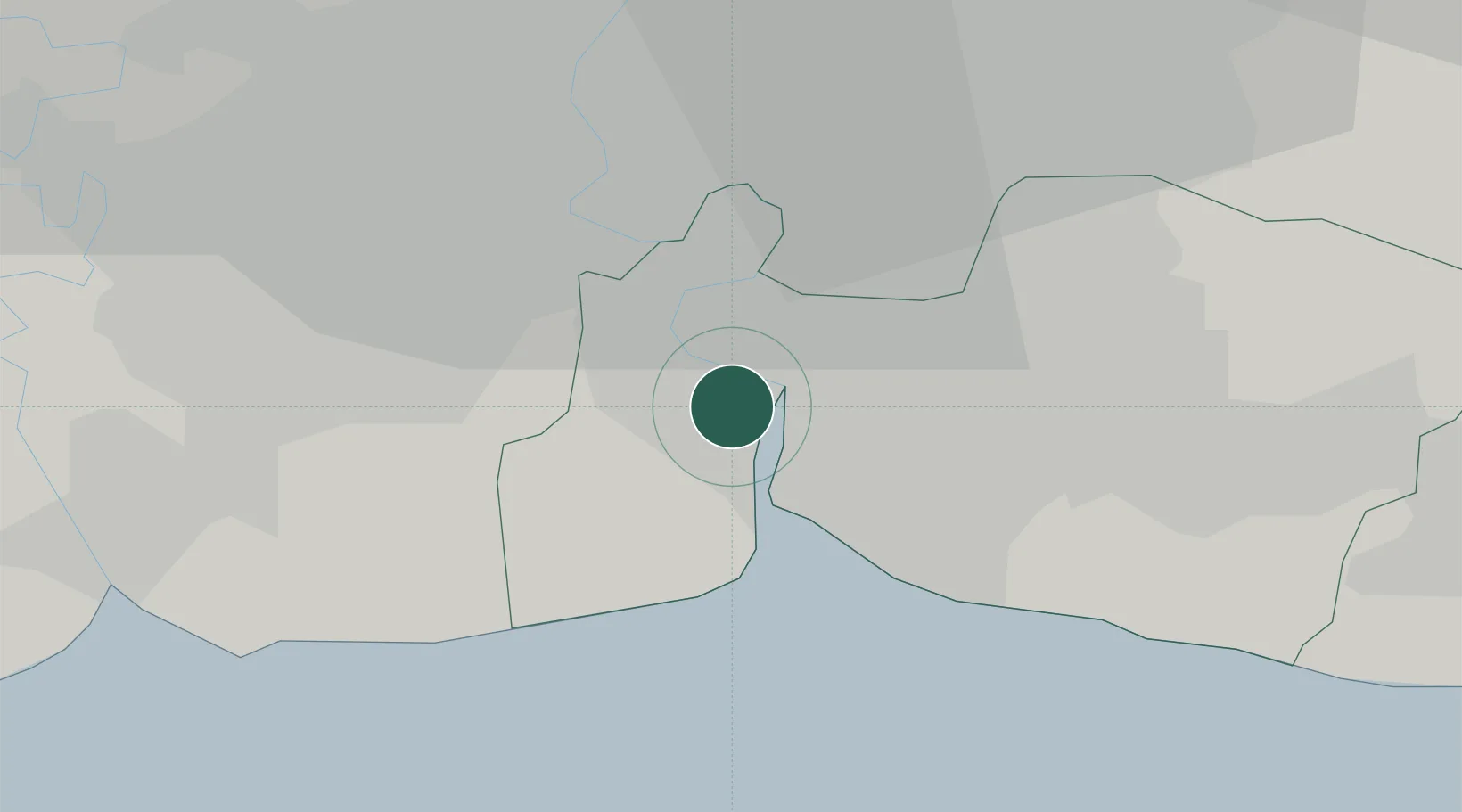
THBMT

Bangkok Modern Terminals/Bangkok

13.6021°, 100.5725°
2
Transport functions

Transport Functions

Port
Road
UN/LOCODE

Hub Profile

Logistics facilities
1
UN/LOCODE

Location

Location of THBMT
Natural Earth 10m (public domain) · Samut Prakan · THBMT · 13.60, 100.57GoogleOSMYandex

Nearby Logistics Neighbours

Cities
  1. 1Nim Port1 km
  2. 2Pak Nam1 km
  3. 3Unithai Container Terminal2 km
  4. 4Phra Pradaeng3 km
  5. 5Siamgas and Petrochemicals4 km
Nearest neighbours — logibook spatial index (haversine) over the source coordinates
Ports
  1. 1Bangkok18 km
  2. 2Ko Si Chang Terminal55 km
  3. 3Si Racha Terminal61 km
  4. 4Siam Seaport62 km
  5. 5Laem Chabang67 km
Nearest neighbours — logibook spatial index (haversine) over the source coordinates
Airports
  1. 1Suvarnabhumi Airport21 km
  2. 2Don Mueang International Airport35 km
  3. 3Kamphaeng Saen Airport90 km
  4. 4U-Tapao–Rayong–Pattaya International Airport113 km
  5. 5Hua Hin Airport127 km
Nearest neighbours — logibook spatial index (haversine) over the source coordinates
Trade Zones
  1. 1Bangplee Industrial Estate9 km
  2. 2Bangpoo Industrial Estate11 km
  3. 3V.R.M. Ratchaburi Industrial Estate14 km
  4. 4Asia Industrial Estate Map Ta Phut (Aiemtp)15 km
  5. 5Indra Industrial Park15 km
Nearest neighbours — logibook spatial index (haversine) over the source coordinates
DatabookThe Record of Consolidated Knowledge
Thailand beyond logistics?
Browse databook

All Sources

LocationsUN/LOCODE
UN/LOCODE — free
Portsthe NGA World Port Index
Public domain (US gov)
AirportsOurAirports
Public domain
Trade Zonesthe World Bank SEZ database
CC BY 4.0
Trade ZonesOpen Zone Map
CC BY
← Thailand locations