Transport Functions
Multimodal
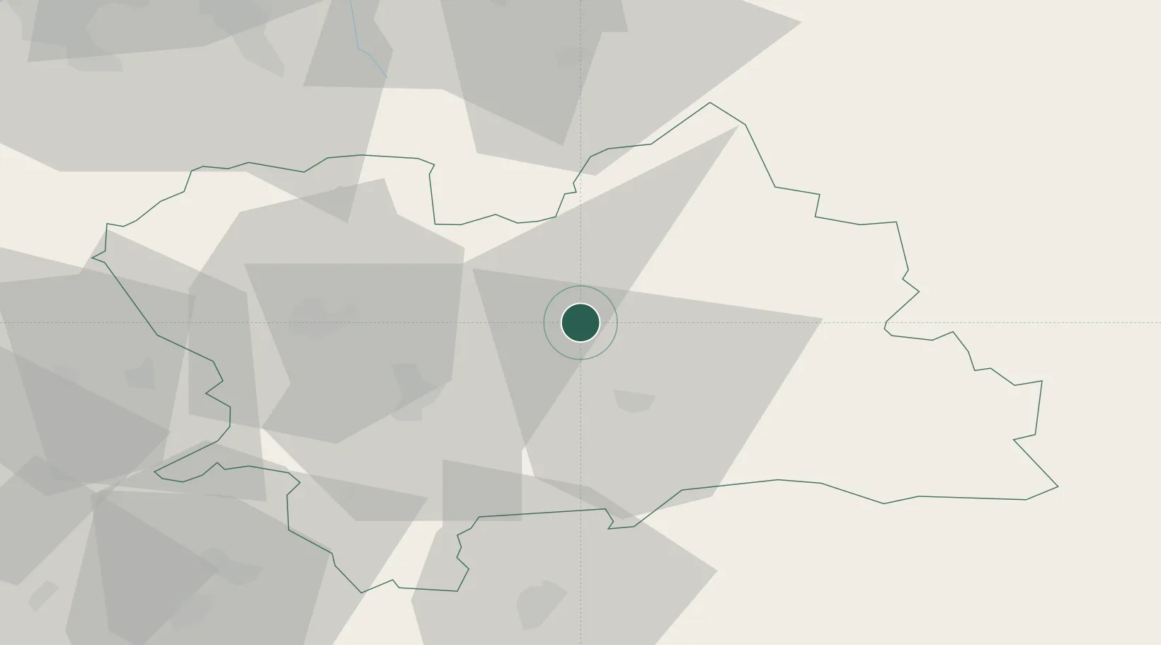
Hub Profile
Place type
Populated place
Region
Žilina Region
Time zone
Europe/Bratislava
Elevation
502 m
Location
Nearby Logistics Neighbours
Cities
- 1Velicná3 km
- 2Dolny Kubín6 km
- 3Ruzomberok18 km
- 4Varín24 km
- 5Vrutky25 km
Ports
- 1Bakar561 km
- 2Rijeka Luka563 km
- 3Omisalj567 km
- 4Szczecin568 km
- 5Trieste571 km
Airports
Trade Zones
- 1Karvinská Specialized Economic Zone88 km
- 2Mošnov Development Area96 km
- 3Kraków Technology Park102 km
- 4Katowice SEZ (Katowicka SSE)114 km
- 5Holešov Industrial Zone122 km
DatabookThe Record of Consolidated Knowledge
Slovakia beyond logistics?