Transport Functions
Rail
Road
Hub Profile
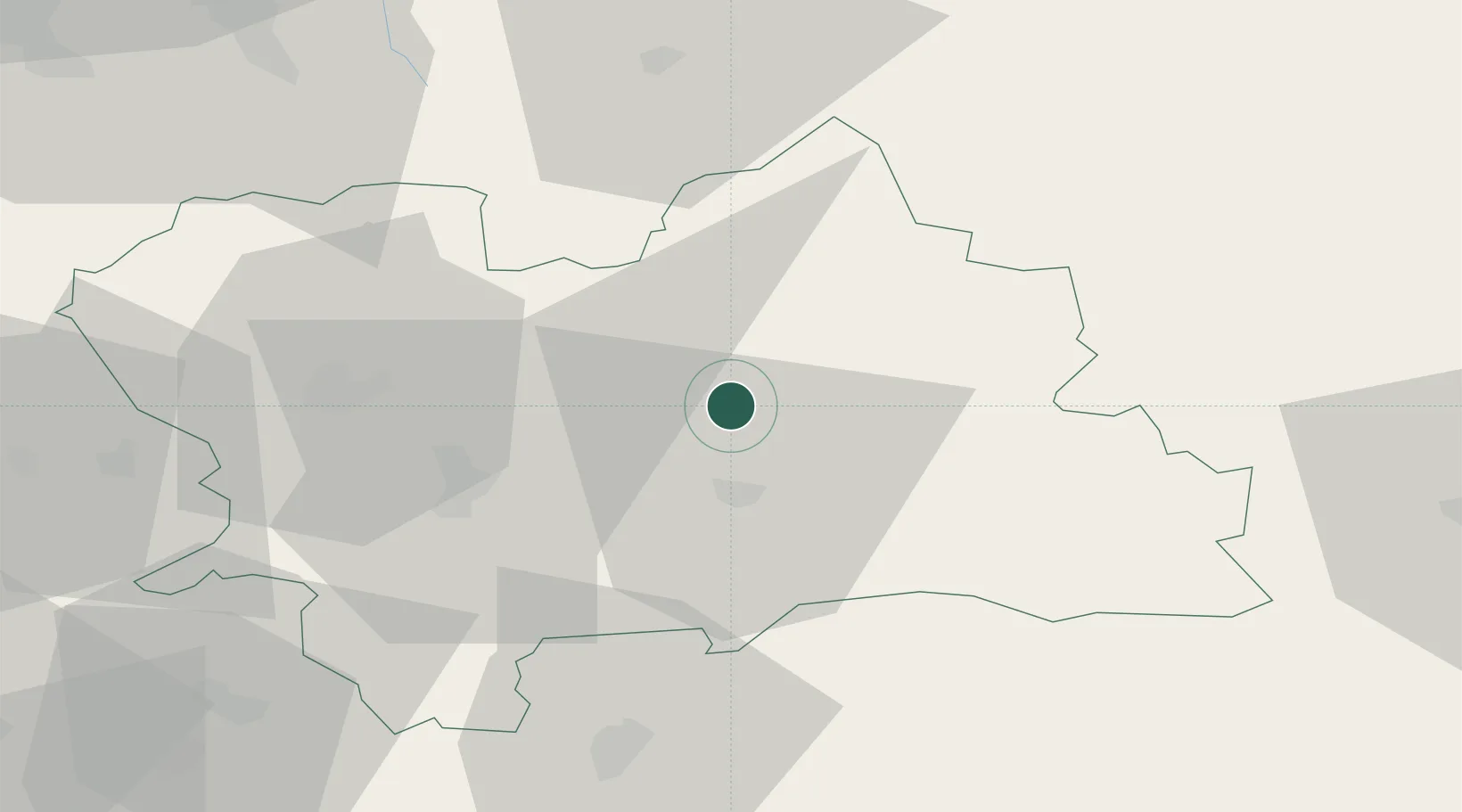
Place type
Provincial seat
Region
Žilina Region
Population
17,660
Time zone
Europe/Bratislava
Elevation
468 m
Location
Nearby Logistics Neighbours
Cities
- 1Velicná4 km
- 2Istebné6 km
- 3Ruzomberok15 km
- 4Tvrdosin24 km
- 5Vrutky29 km
Ports
- 1Bakar563 km
- 2Rijeka Luka565 km
- 3Omisalj570 km
- 4Szczecin573 km
- 5Gdansk574 km
Airports
Trade Zones
- 1Karvinská Specialized Economic Zone93 km
- 2Kraków Technology Park101 km
- 3Mošnov Development Area102 km
- 4Katowice SEZ (Katowicka SSE)117 km
- 5Holešov Industrial Zone128 km
DatabookThe Record of Consolidated Knowledge
Slovakia beyond logistics?