Transport Functions
Rail
Road
Multimodal
Hub Profile
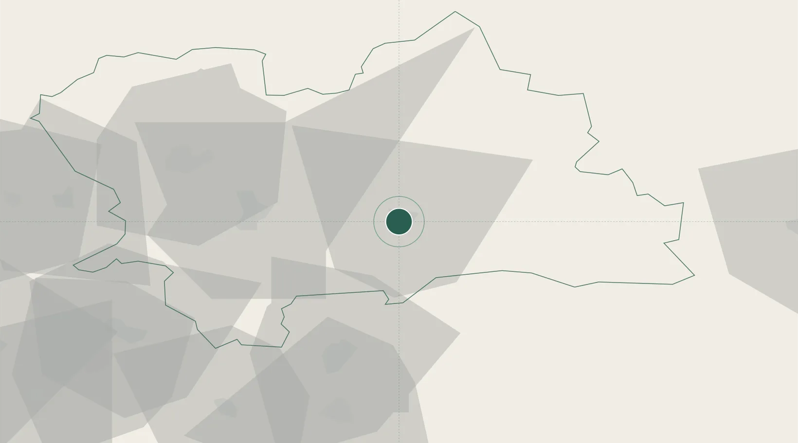
Place type
Provincial seat
Region
Žilina Region
Population
26,671
Time zone
Europe/Bratislava
Elevation
481 m
Location
Nearby Logistics Neighbours
Cities
- 1Dolny Kubín15 km
- 2Velicná15 km
- 3Istebné18 km
- 4Zavazna Poruba26 km
- 5Vrutky29 km
Ports
- 1Bakar552 km
- 2Rijeka Luka554 km
- 3Omisalj559 km
- 4Senj563 km
- 5Trieste565 km
Airports
Trade Zones
- 1Karvinská Specialized Economic Zone106 km
- 2Mošnov Development Area110 km
- 3Kraków Technology Park114 km
- 4Holešov Industrial Zone131 km
- 5Katowice SEZ (Katowicka SSE)131 km
DatabookThe Record of Consolidated Knowledge
Slovakia beyond logistics?