Transport Functions
Multimodal
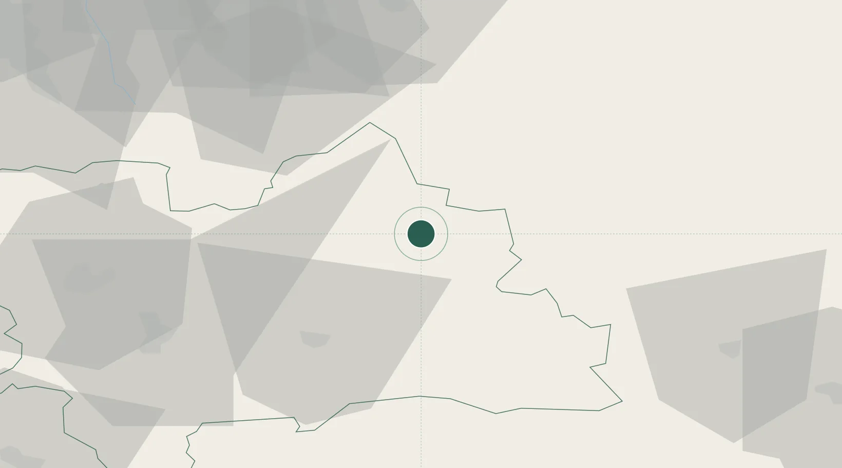
Hub Profile
Place type
Provincial seat
Region
Žilina Region
Population
8,786
Time zone
Europe/Bratislava
Elevation
585 m
Location
Nearby Logistics Neighbours
Cities
- 1Dolny Kubín24 km
- 2Velicná27 km
- 3Istebné29 km
- 4Zavazna Poruba30 km
- 5Poronin31 km
Airports
Trade Zones
DatabookThe Record of Consolidated Knowledge
Slovakia beyond logistics?