Transport Functions
Port
Multimodal
Hub Profile
Place type
Regional capital
Region
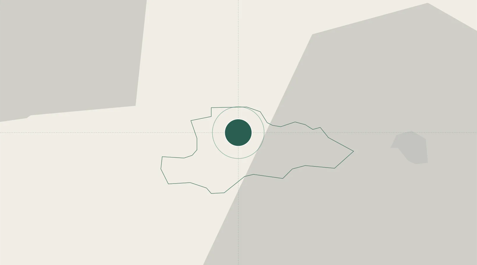
Žužemberk
Population
1,053
Time zone
Europe/Ljubljana
Elevation
233 m
Location
Nearby Logistics Neighbours
Cities
- 1Zagradec7 km
- 2Straza14 km
- 3Gorenja Straza14 km
- 4Nova Vas17 km
- 5Ribnica17 km
Ports
- 1Bakar66 km
- 2Rijeka Luka67 km
- 3Omisalj74 km
- 4Muggia93 km
- 5Trieste93 km
Airports
Trade Zones
- 1Free Zone Kukuljanovo64 km
- 2PJ Free Zone Zagreb75 km
- 3Krapina-Zagorje Free Zone82 km
- 4Port of Rijeka Free Zone88 km
- 5Free Port of Trieste93 km
DatabookThe Record of Consolidated Knowledge
Slovenia beyond logistics?