UN/LOCODE hub · Slovenia
SILZQ

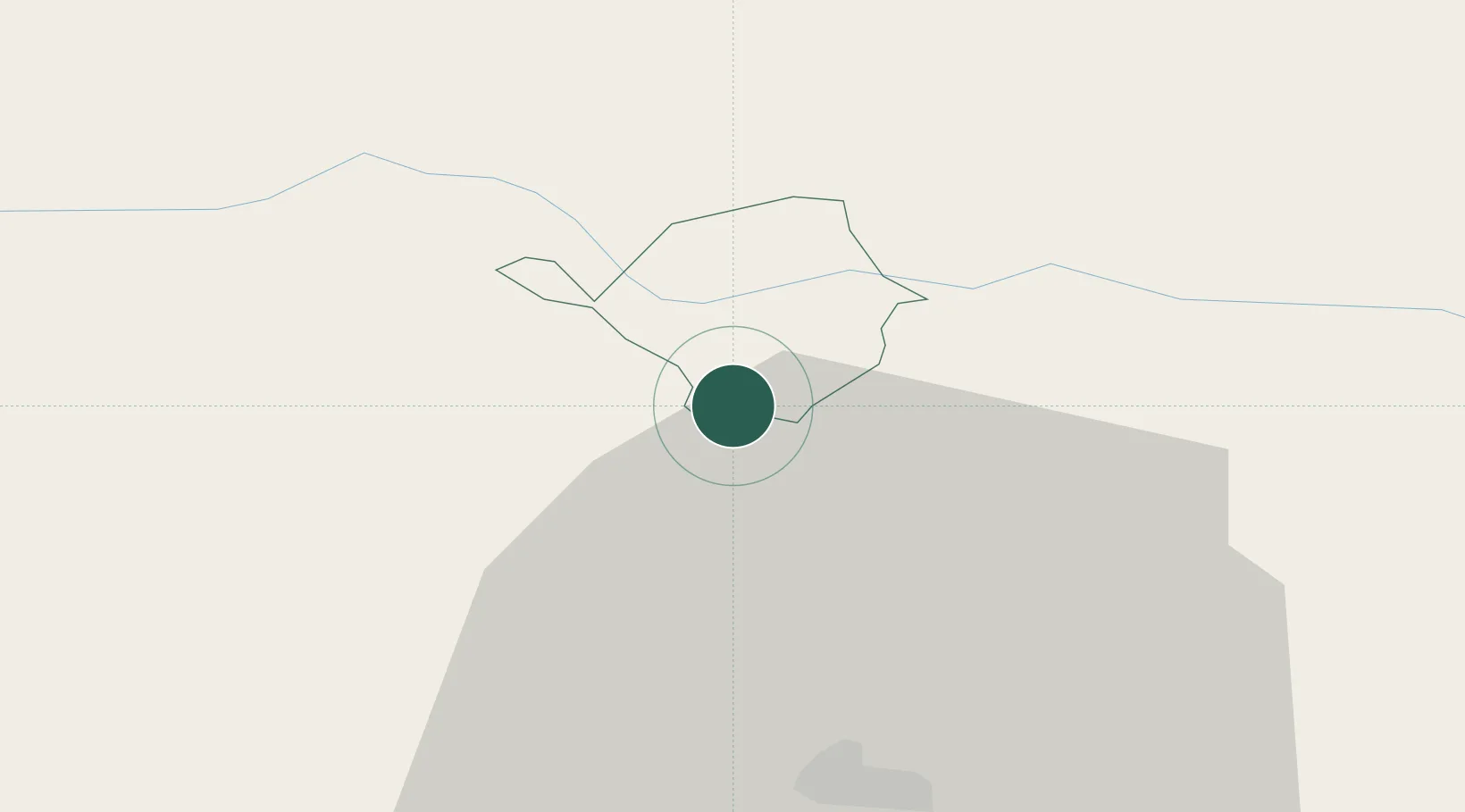
Sentjanz pri Dravogradu

46.5500°, 15.0333°
543
Population
1
Transport functions

Transport Functions

Multimodal
UN/LOCODE

Hub Profile

Place type
Populated place
GeoNames
Region
Dravograd
GeoNames
Population
543
GeoNames
Time zone
Europe/Ljubljana
GeoNames
Elevation
352 m
GeoNames

Location

Location of SILZQ
Natural Earth 10m (public domain) · Dravograd · SILZQ · 46.55, 15.03GoogleOSMYandex

Nearby Logistics Neighbours

Cities
  1. 1Prevalje9 km
  2. 2Vuzenica11 km
  3. 3Mezica15 km
  4. 4Vuhred16 km
  5. 5Bleiburg18 km
Nearest neighbours — logibook spatial index (haversine) over the source coordinates
Ports
  1. 1Trieste141 km
  2. 2Monfalcone143 km
  3. 3Rijeka Luka143 km
  4. 4Muggia144 km
  5. 5Bakar144 km
Nearest neighbours — logibook spatial index (haversine) over the source coordinates
Airports
  1. 1Maribor Edvard Rusjan Airport51 km
  2. 2Klagenfurt Airport54 km
  3. 3Ljubljana Jože Pučnik Airport57 km
  4. 4Graz Airport58 km
  5. 5Hinterstoisser Air Base76 km
Nearest neighbours — logibook spatial index (haversine) over the source coordinates
Trade Zones
  1. 1Krapina-Zagorje Free Zone78 km
  2. 2Sjever Free Zone104 km
  3. 3PJ Free Zone Zagreb106 km
  4. 4Free Port of Trieste141 km
  5. 5Free Zone Kukuljanovo141 km
Nearest neighbours — logibook spatial index (haversine) over the source coordinates
DatabookThe Record of Consolidated Knowledge
Slovenia beyond logistics?
Browse databook

All Sources

LocationsUN/LOCODE
UN/LOCODE — free
LocationsGeoNames
CC BY 4.0
Portsthe NGA World Port Index
Public domain (US gov)
AirportsOurAirports
Public domain
Trade Zonesthe World Bank SEZ database
CC BY 4.0
Trade ZonesOpen Zone Map
CC BY
← Slovenia locations