Transport Functions
Port
Rail
Road
Hub Profile
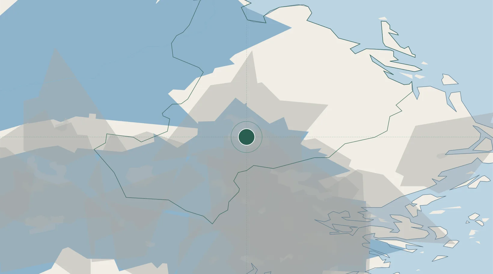
Place type
Regional capital
Region
Uppsala
Population
177,074
Time zone
Europe/Stockholm
Elevation
20 m
Location
Nearby Logistics Neighbours
Cities
- 1Sigtuna28 km
- 2Bålsta32 km
- 3Grillby35 km
- 4Kalmarsand36 km
- 5Enköping37 km
Ports
- 1Hallstavik57 km
- 2Hargshamn57 km
- 3Stockholm64 km
- 4Vasteras67 km
- 5Grisslehamn71 km
Airports
- 1Stockholm-Arlanda Airport29 km
- 2Stockholm-Bromma Airport60 km
- 3Stockholm Västerås Airport64 km
- 4Eskilstuna Airport77 km
- 5Gävle Sandviken Airport89 km
Trade Zones
- 1Stockholm Free Zone64 km
- 2Turku Free Zone261 km
- 3Freeport of Hanko293 km
- 4Jönköping Free Zone310 km
- 5Free port of Ventspils355 km
DatabookThe Record of Consolidated Knowledge
Sweden beyond logistics?