Transport Functions
Multimodal
Hub Profile
Place type
Populated place
Region
Kronoberg
Population
2,395
Time zone
Europe/Stockholm
Elevation
190 m
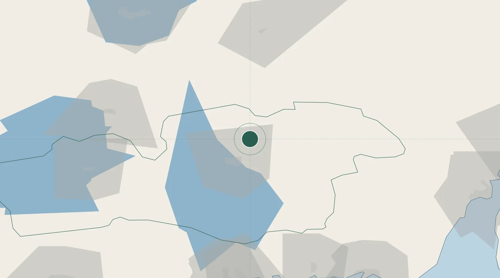
Location
Nearby Logistics Neighbours
Cities
- 1Klavreström19 km
- 2Moheda20 km
- 3Rörvik31 km
- 4Kosta35 km
- 5Urshult54 km
Ports
- 1Karlshamn96 km
- 2Ronneby97 km
- 3Kalmar97 km
- 4Oskarshamn98 km
- 5Stora Jatterson101 km
Airports
- 1Växjö Kronoberg Airport14 km
- 2Ronneby Airport86 km
- 3Kalmar Airport92 km
- 4Jönköping Airport96 km
- 5Halmstad Airport132 km
Trade Zones
DatabookThe Record of Consolidated Knowledge
Sweden beyond logistics?