Transport Functions
Rail
Road
Hub Profile
Place type
Populated place
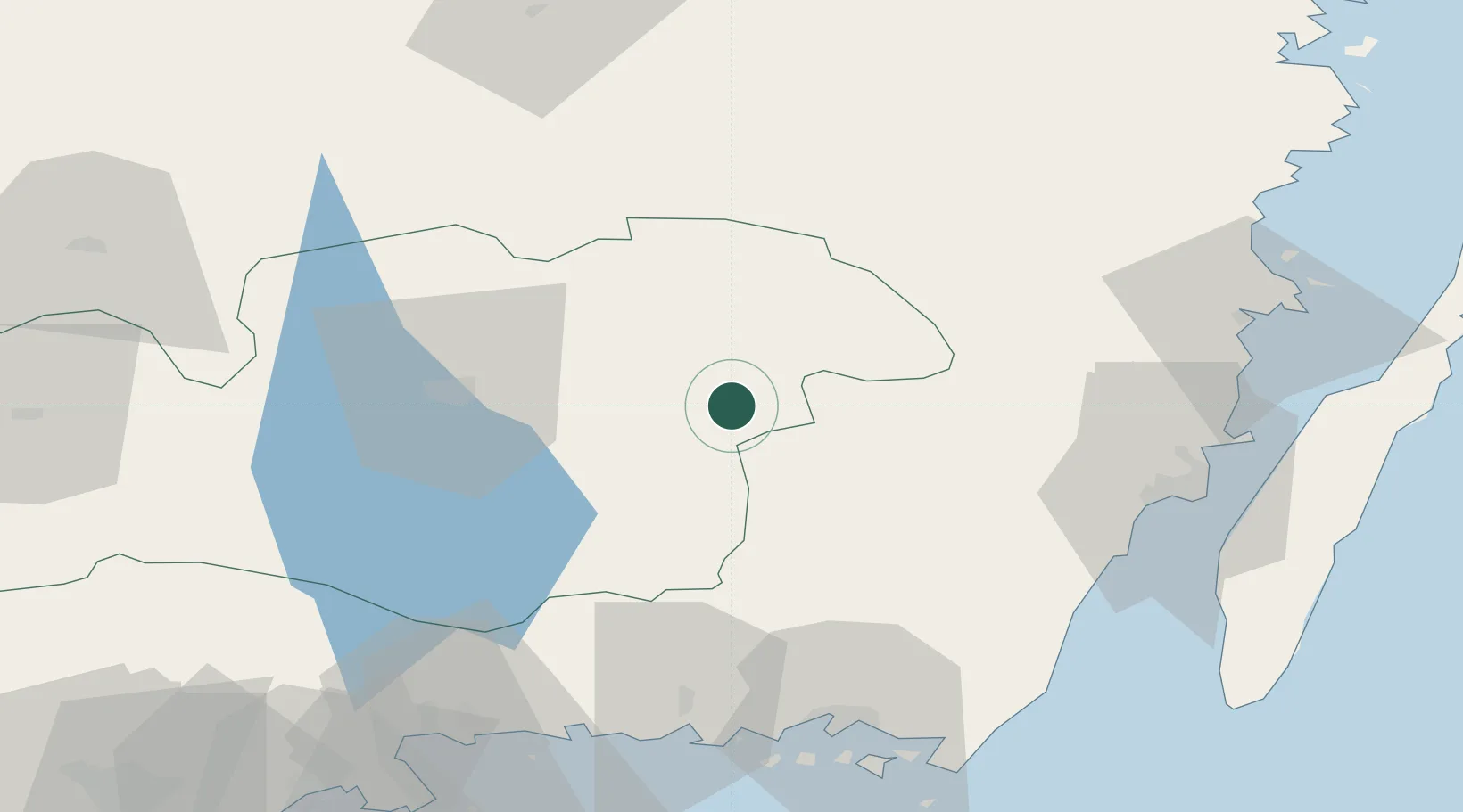
Region
Kronoberg
Population
985
Time zone
Europe/Stockholm
Elevation
235 m
Location
Nearby Logistics Neighbours
Cities
- 1Rottne35 km
- 2Klavreström35 km
- 3Trekanten48 km
- 4Urshult51 km
- 5Moheda52 km
Ports
- 1Kalmar63 km
- 2Bergkvara68 km
- 3Ronneby76 km
- 4Stora Jatterson77 km
- 5Karlskrona77 km
Airports
- 1Växjö Kronoberg Airport41 km
- 2Kalmar Airport58 km
- 3Ronneby Airport65 km
- 4Jönköping Airport128 km
- 5Kristianstad Airport131 km
Trade Zones
DatabookThe Record of Consolidated Knowledge
Sweden beyond logistics?