Transport Functions
Port
Rail
Road
Hub Profile
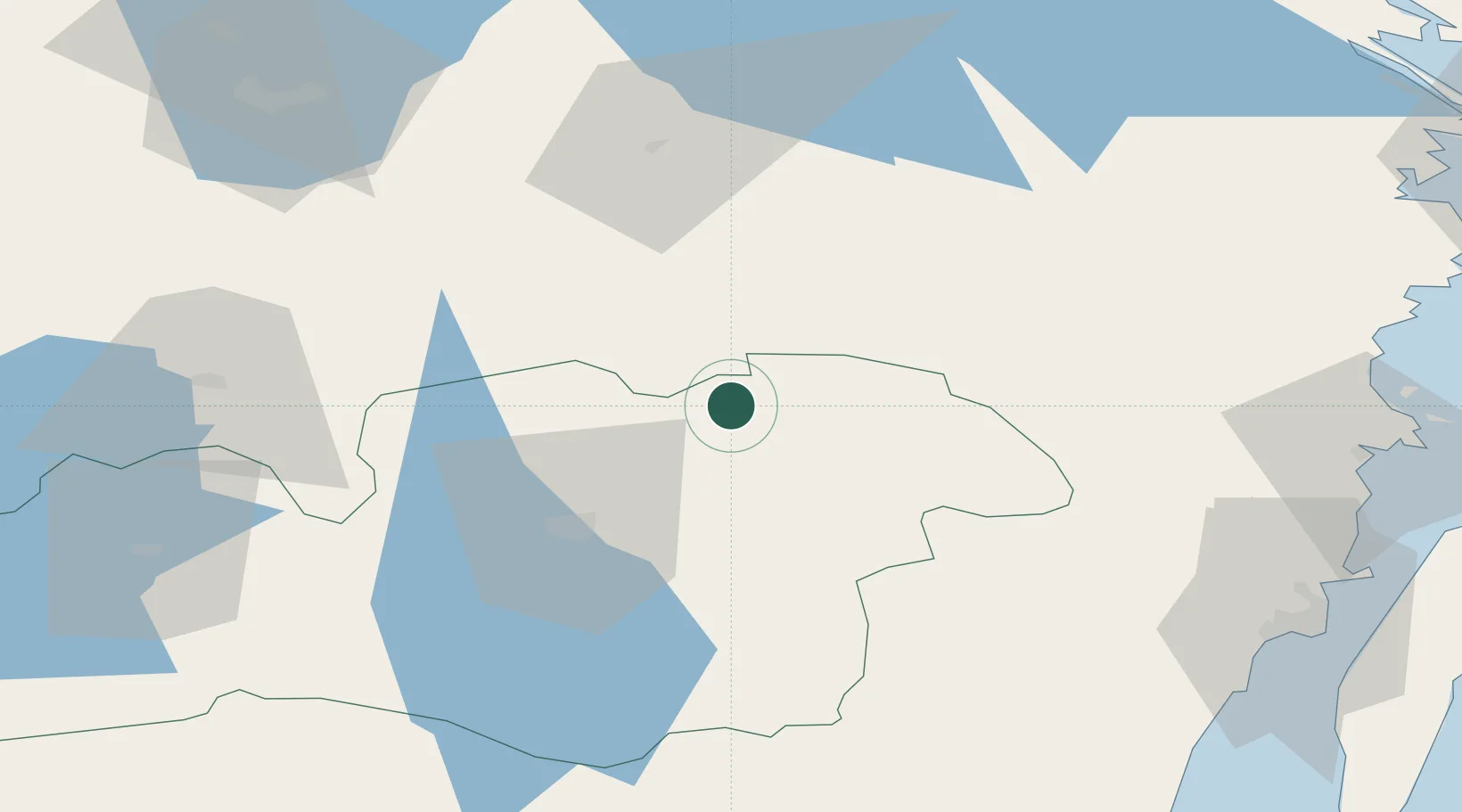
Place type
Populated place
Region
Kronoberg
Time zone
Europe/Stockholm
Elevation
199 m
Location
Nearby Logistics Neighbours
Ports
- 1Oskarshamn81 km
- 2Figeholm86 km
- 3Stora Jatterson87 km
- 4Kalmar91 km
- 5Bergkvara102 km
Airports
- 1Växjö Kronoberg Airport33 km
- 2Kalmar Airport86 km
- 3Jönköping Airport94 km
- 4Ronneby Airport97 km
- 5Malmen Air Base143 km
Trade Zones
DatabookThe Record of Consolidated Knowledge
Sweden beyond logistics?