UN/LOCODE hub · Sweden
SESZL

Målilla

57.3833°, 15.8000°
1,348
Population
3
Transport functions

Transport Functions

Rail
Road
Multimodal
UN/LOCODE

Hub Profile

Place type
Populated place
GeoNames
Region
Kalmar
GeoNames
Population
1,348
GeoNames
Time zone
Europe/Stockholm
GeoNames
Elevation
97 m
GeoNames

Location

Location of SESZL
Natural Earth 10m (public domain) · Kalmar · SESZL · 57.38, 15.80GoogleOSMYandex

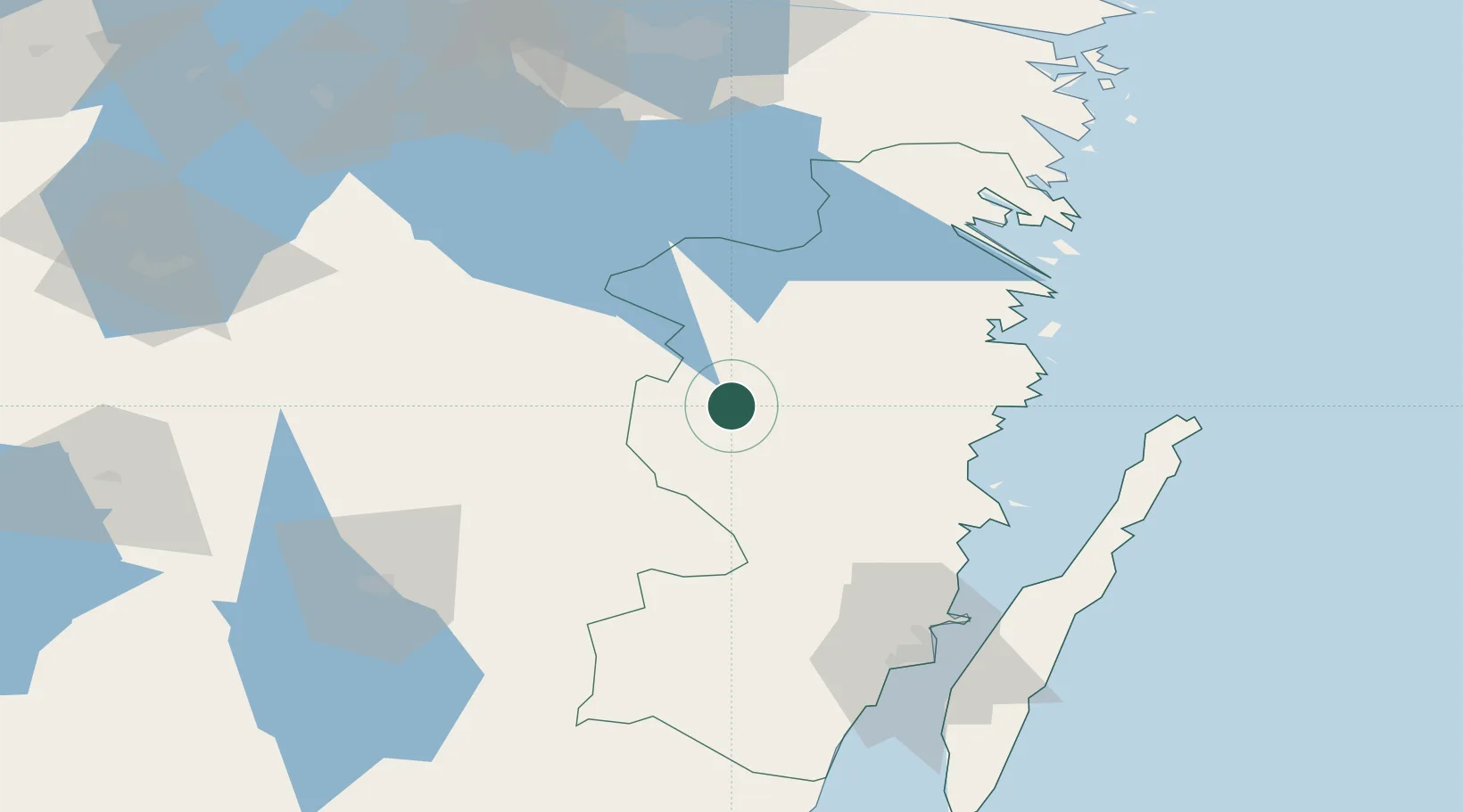
Nearby Logistics Neighbours

Cities
  1. 1Norrhult17 km
  2. 2Rumskulla34 km
  3. 3Bellö36 km
  4. 4Totebo37 km
  5. 5Ruda, Högsby37 km
Nearest neighbours — logibook spatial index (haversine) over the source coordinates
Ports
  1. 1Oskarshamn41 km
  2. 2Figeholm42 km
  3. 3Stora Jatterson56 km
  4. 4Verkeback59 km
  5. 5Vastervik66 km
Nearest neighbours — logibook spatial index (haversine) over the source coordinates
Airports
  1. 1Växjö Kronoberg Airport82 km
  2. 2Kalmar Airport83 km
  3. 3Jönköping Airport111 km
  4. 4Linköping City Airport114 km
  5. 5Malmen Air Base114 km
Nearest neighbours — logibook spatial index (haversine) over the source coordinates
Trade Zones
  1. 1Jönköping Free Zone110 km
  2. 2Gothenburg Boundless Customs Warehouse241 km
  3. 3Stockholm Free Zone257 km
  4. 4MTS Malmö Transport and Spedition258 km
  5. 5Freeport of Copenhagen- Nordhavn270 km
Nearest neighbours — logibook spatial index (haversine) over the source coordinates
DatabookThe Record of Consolidated Knowledge
Sweden beyond logistics?
Browse databook

All Sources

LocationsUN/LOCODE
UN/LOCODE — free
LocationsGeoNames
CC BY 4.0
Portsthe NGA World Port Index
Public domain (US gov)
AirportsOurAirports
Public domain
Trade Zonesthe World Bank SEZ database
CC BY 4.0
Trade ZonesOpen Zone Map
CC BY
← Sweden locations