Transport Functions
Port
Hub Profile
Region
BD
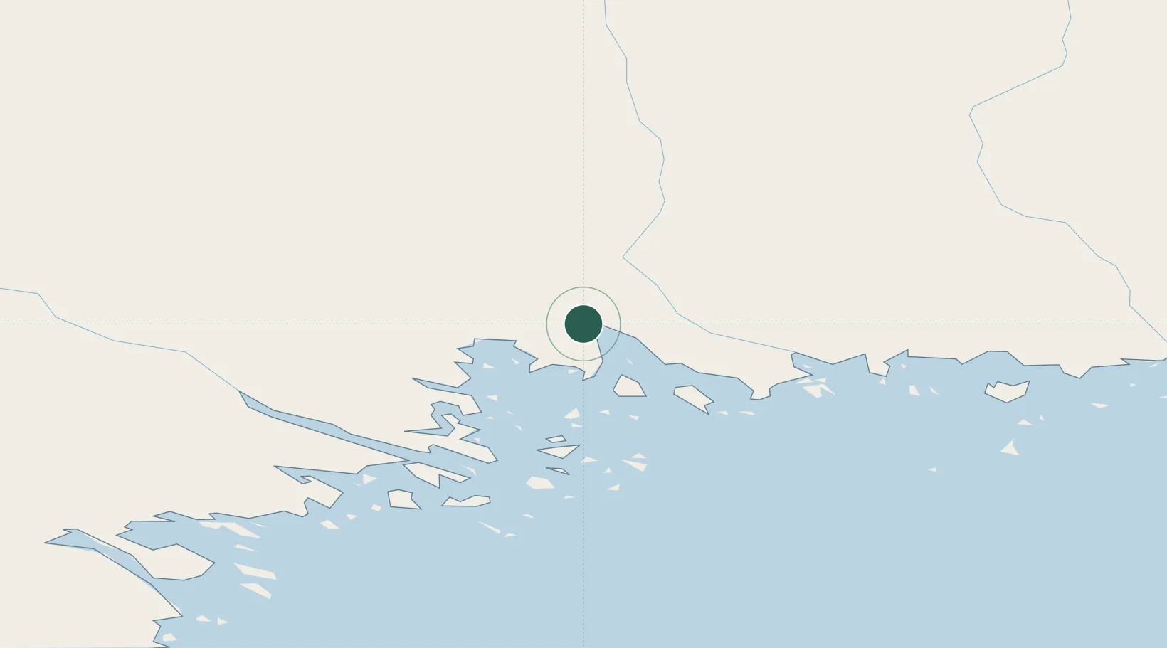
Location
Nearby Logistics Neighbours
Cities
- 1Karlsborg Axelvik31 km
- 2Luleå42 km
- 3Torneå (Tornio)71 km
- 4Övertorneå71 km
- 5Röyttä71 km
Airports
- 1Luleå Airport46 km
- 2Kemi-Tornio Airport89 km
- 3Pajala Airport151 km
- 4Gällivare Airport159 km
- 5Skellefteå Airport160 km
Trade Zones
- 1Oulu Port Free Warehouse Area162 km
- 2Free Zone of Lappeenranta604 km
- 3Turku Free Zone607 km
- 4Port of Hamina-Kotka641 km
- 5Freeport of Hanko675 km
DatabookThe Record of Consolidated Knowledge
Sweden beyond logistics?