Transport Functions
Rail
Road
Border Crossing
Hub Profile
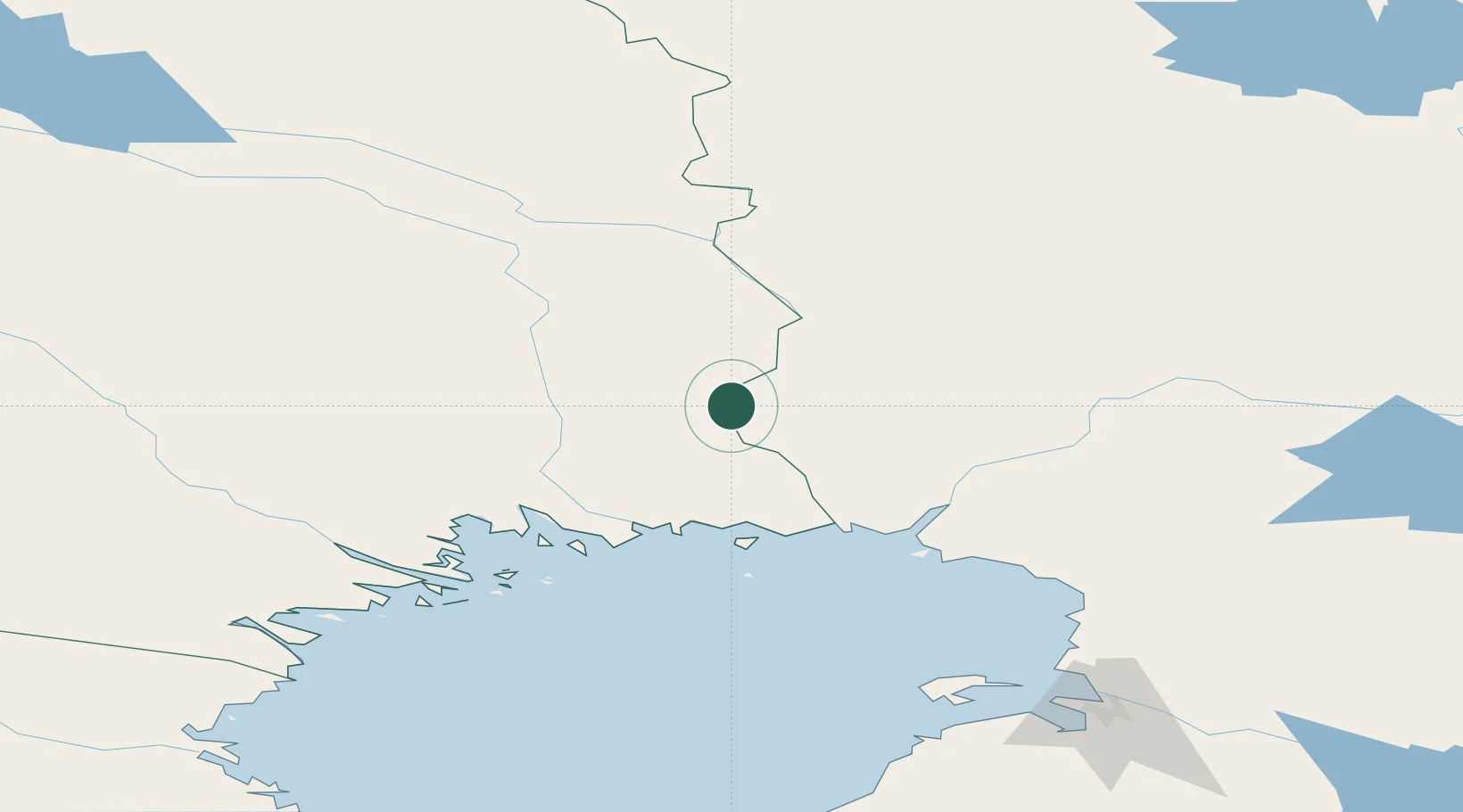
Region
BD
Location
Nearby Logistics Neighbours
Cities
- 1Turtola33 km
- 2Karlsborg Axelvik67 km
- 3Töre71 km
- 4Torneå (Tornio)73 km
- 5Röyttä74 km
Airports
- 1Kemi-Tornio Airport79 km
- 2Rovaniemi Airport98 km
- 3Pajala Airport99 km
- 4Luleå Airport117 km
- 5Gällivare Airport150 km
Trade Zones
- 1Oulu Port Free Warehouse Area174 km
- 2Murmansk Special Economic Zone489 km
- 3Free Zone of Lappeenranta633 km
- 4Turku Free Zone664 km
- 5Port of Hamina-Kotka677 km
DatabookThe Record of Consolidated Knowledge
Sweden beyond logistics?