UN/LOCODE hub · Sweden
SESZS

Sätila

57.5333°, 12.4333°
2
Transport functions

Transport Functions

Road
Multimodal
UN/LOCODE

Hub Profile

Region
O
GeoNames

Location

Location of SESZS
Natural Earth 10m (public domain) · O · SESZS · 57.53, 12.43GoogleOSMYandex

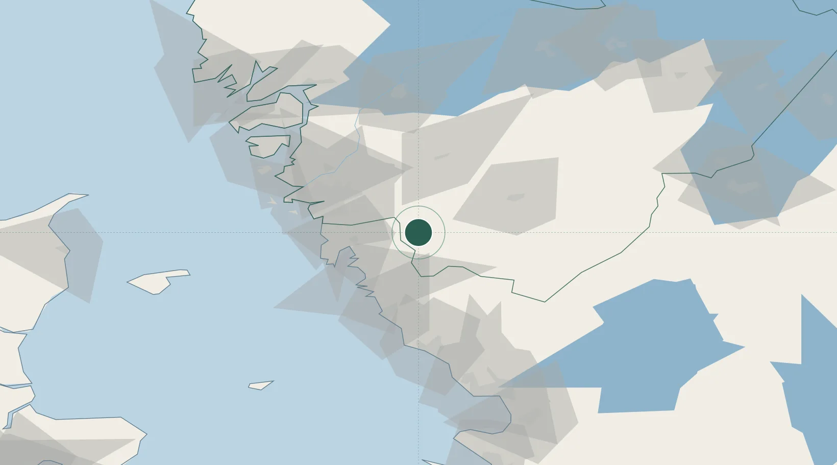
Nearby Logistics Neighbours

Cities
  1. 1Hyssna7 km
  2. 2Hindås19 km
  3. 3Kungsbacka22 km
  4. 4Landvetter22 km
  5. 5Mölnlycke22 km
Nearest neighbours — logibook spatial index (haversine) over the source coordinates
Ports
  1. 1Goteborg35 km
  2. 2Varberg49 km
  3. 3Marstrand64 km
  4. 4Stenungsund71 km
  5. 5Falkenberg73 km
Nearest neighbours — logibook spatial index (haversine) over the source coordinates
Airports
  1. 1Göteborg Landvetter Airport17 km
  2. 2Säve Airport43 km
  3. 3Trollhättan-Vänersborg Airport87 km
  4. 4Læsø Airport90 km
  5. 5Halmstad Airport97 km
Nearest neighbours — logibook spatial index (haversine) over the source coordinates
Trade Zones
  1. 1Gothenburg Boundless Customs Warehouse42 km
  2. 2Jönköping Free Zone102 km
  3. 3Freeport of Copenhagen- Nordhavn203 km
  4. 4MTS Malmö Transport and Spedition218 km
  5. 5Freeport of Kiel383 km
Nearest neighbours — logibook spatial index (haversine) over the source coordinates
DatabookThe Record of Consolidated Knowledge
Sweden beyond logistics?
Browse databook

All Sources

LocationsUN/LOCODE
UN/LOCODE — free
Portsthe NGA World Port Index
Public domain (US gov)
AirportsOurAirports
Public domain
Trade Zonesthe World Bank SEZ database
CC BY 4.0
Trade ZonesOpen Zone Map
CC BY
← Sweden locations