Transport Functions
Road
Multimodal
Hub Profile
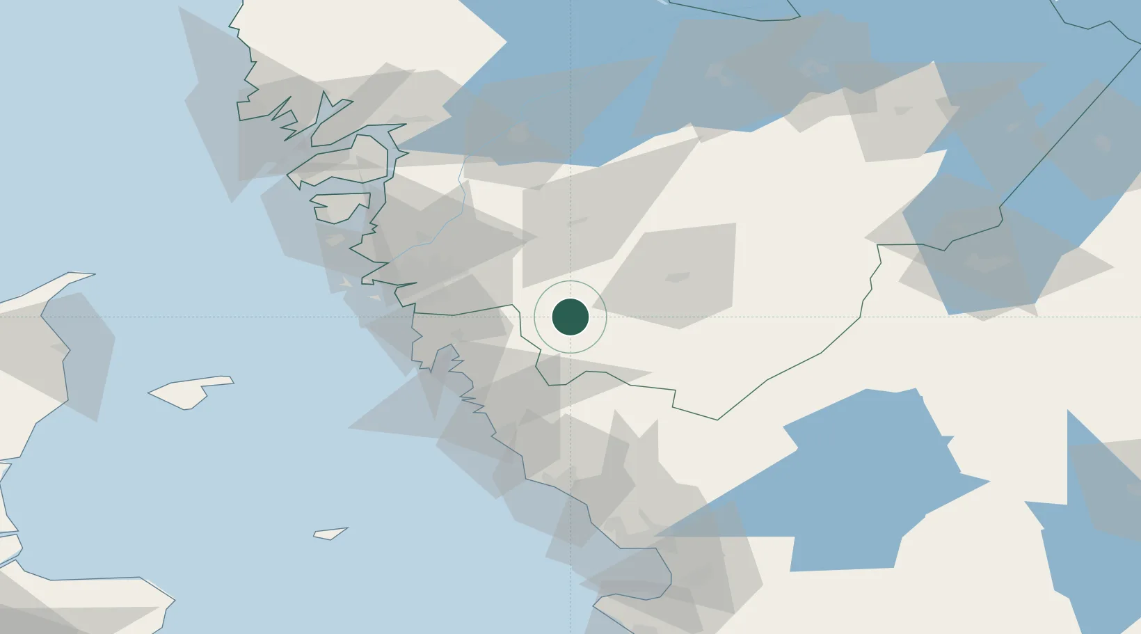
Place type
Populated place
Region
Västra Götaland
Population
665
Time zone
Europe/Stockholm
Elevation
76 m
Location
Nearby Logistics Neighbours
Cities
- 1Sätila7 km
- 2Hindås16 km
- 3Landvetter24 km
- 4Mölnlycke26 km
- 5Stenkullen27 km
Ports
- 1Goteborg38 km
- 2Varberg54 km
- 3Marstrand66 km
- 4Stenungsund72 km
- 5Falkenberg76 km
Airports
- 1Göteborg Landvetter Airport19 km
- 2Säve Airport46 km
- 3Trollhättan-Vänersborg Airport84 km
- 4Jönköping Airport94 km
- 5Såtenäs Air Base96 km
Trade Zones
DatabookThe Record of Consolidated Knowledge
Sweden beyond logistics?