UN/LOCODE hub · Sweden
SEJKG

Jönköping

57.6735°, 14.1653°
2
Transport functions

Transport Functions

Port
Airport
UN/LOCODE

Hub Profile

Region
F
GeoNames
Logistics facilities
1
UN/LOCODE

Location

Location of SEJKG
Natural Earth 10m (public domain) · F · SEJKG · 57.67, 14.17GoogleOSMYandex

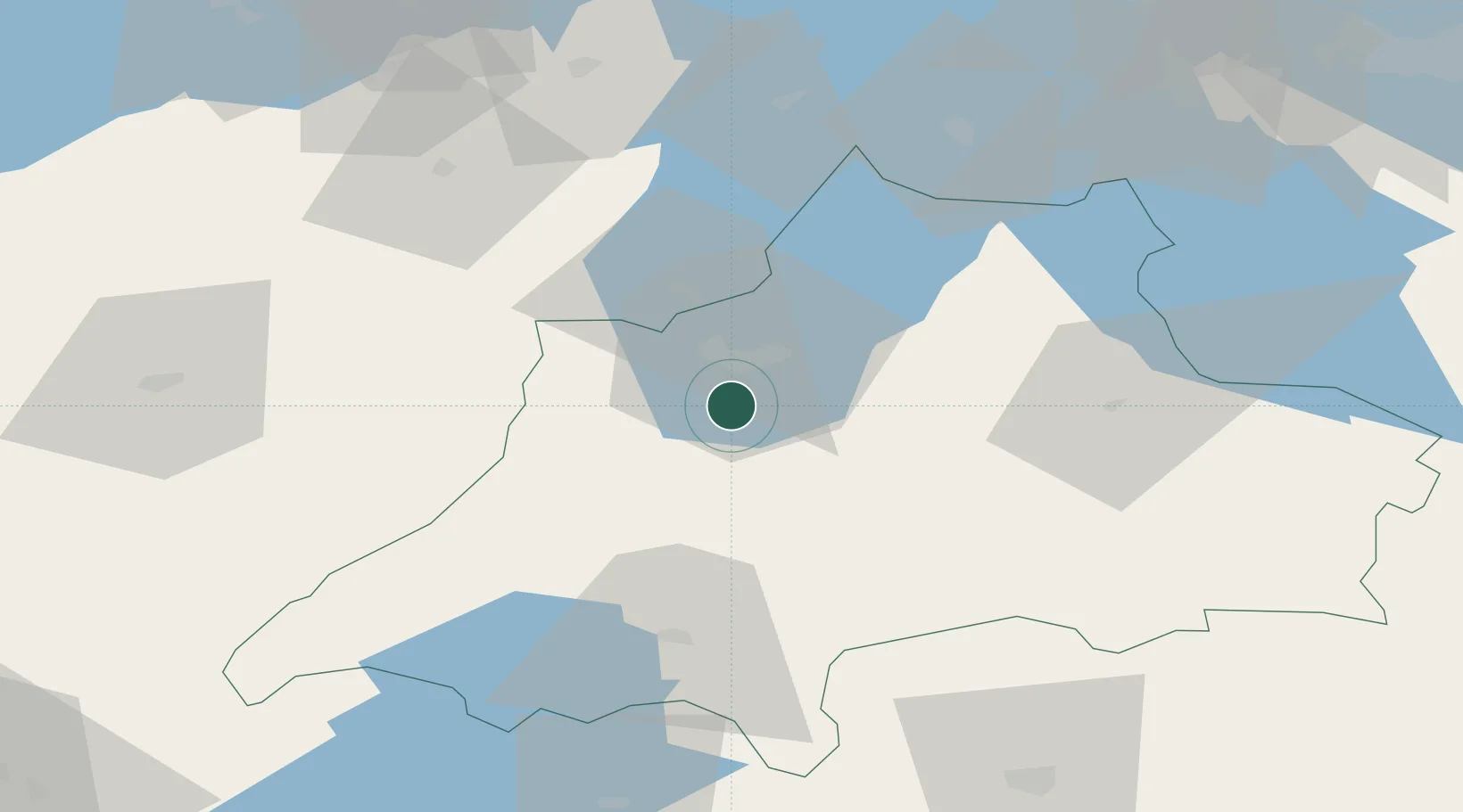
Nearby Logistics Neighbours

Cities
  1. 1Ljungsarp37 km
  2. 2Flisby40 km
  3. 3Marstrand42 km
  4. 4Timmele48 km
  5. 5Rörvik55 km
Nearest neighbours — logibook spatial index (haversine) over the source coordinates
Ports
  1. 1Varberg132 km
  2. 2Falkenberg135 km
  3. 3Halmstad137 km
  4. 4Verkeback141 km
  5. 5Figeholm144 km
Nearest neighbours — logibook spatial index (haversine) over the source coordinates
Airports
  1. 1Jönköping Airport11 km
  2. 2Skövde Airport88 km
  3. 3Växjö Kronoberg Airport89 km
  4. 4Göteborg Landvetter Airport112 km
  5. 5Råda Air Base113 km
Nearest neighbours — logibook spatial index (haversine) over the source coordinates
Trade Zones
  1. 1Jönköping Free Zone11 km
  2. 2Gothenburg Boundless Customs Warehouse140 km
  3. 3Freeport of Copenhagen- Nordhavn238 km
  4. 4MTS Malmö Transport and Spedition239 km
  5. 5Stockholm Free Zone295 km
Nearest neighbours — logibook spatial index (haversine) over the source coordinates
DatabookThe Record of Consolidated Knowledge
Sweden beyond logistics?
Browse databook

All Sources

LocationsUN/LOCODE
UN/LOCODE — free
Portsthe NGA World Port Index
Public domain (US gov)
AirportsOurAirports
Public domain
Trade Zonesthe World Bank SEZ database
CC BY 4.0
Trade ZonesOpen Zone Map
CC BY
← Sweden locations