Transport Functions
Port
Road
Hub Profile
Place type
Populated place
Region
Gotland
Time zone
Europe/Stockholm
Elevation
10 m
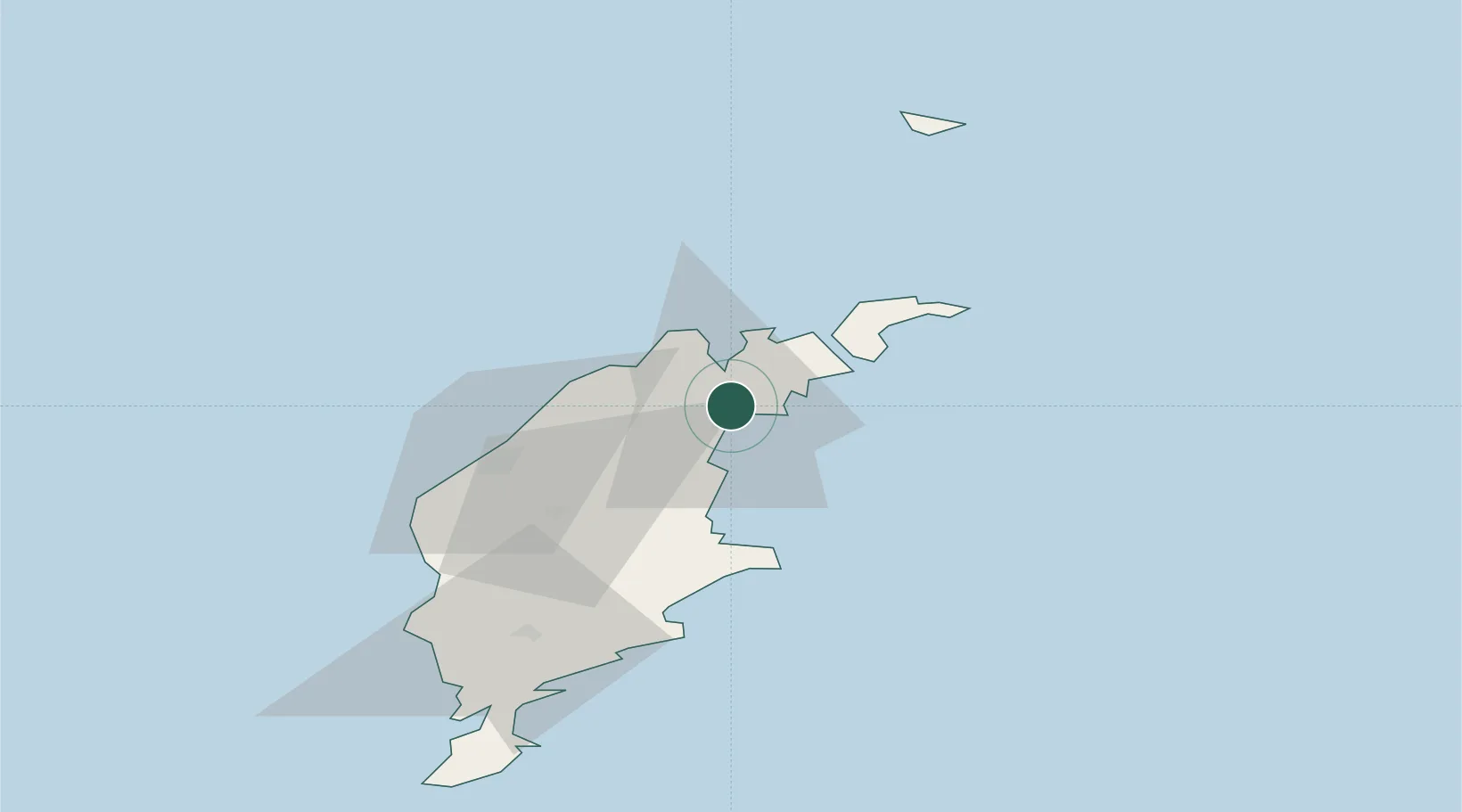
Location
Nearby Logistics Neighbours
Cities
- 1Slite4 km
- 2Kappelshamn11 km
- 3Strå19 km
- 4Visby33 km
- 5Tofta47 km
Ports
- 1Slite6 km
- 2Farosund23 km
- 3Visby34 km
- 4Klintehamn55 km
- 5Ronehamn73 km
Airports
- 1Visby Airport30 km
- 2Stockholm Skavsta Airport161 km
- 3Norrköping Airport177 km
- 4Stockholm-Bromma Airport186 km
- 5Kalmar Airport193 km
Trade Zones
- 1Free port of Ventspils166 km
- 2Stockholm Free Zone182 km
- 3Liepāja SEZ209 km
- 4Jönköping Free Zone280 km
- 5Akmenė Free Economic Zone291 km
DatabookThe Record of Consolidated Knowledge
Sweden beyond logistics?