UN/LOCODE hub · Sweden
SEKAF

Strå

57.8833°, 19.0167°
1
Transport functions

Transport Functions

Port
UN/LOCODE

Hub Profile

Place type
Populated place
GeoNames
Region
Östergötland
GeoNames
Time zone
Europe/Stockholm
GeoNames
Elevation
99 m
GeoNames

Location

Location of SEKAF
Natural Earth 10m (public domain) · Östergötland · SEKAF · 57.88, 19.02GoogleOSMYandex

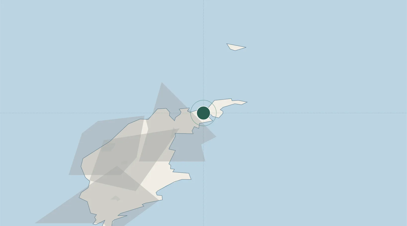
Nearby Logistics Neighbours

Cities
  1. 1Kappelshamn14 km
  2. 2Storugns19 km
  3. 3Slite23 km
  4. 4Visby51 km
  5. 5Tofta66 km
Nearest neighbours — logibook spatial index (haversine) over the source coordinates
Ports
  1. 1Farosund4 km
  2. 2Storugns14 km
  3. 3Slite24 km
  4. 4Visby52 km
  5. 5Klintehamn74 km
Nearest neighbours — logibook spatial index (haversine) over the source coordinates
Airports
  1. 1Visby Airport47 km
  2. 2Stockholm Skavsta Airport159 km
  3. 3Stockholm-Bromma Airport175 km
  4. 4Norrköping Airport180 km
  5. 5Liepāja International Airport197 km
Nearest neighbours — logibook spatial index (haversine) over the source coordinates
Trade Zones
  1. 1Free port of Ventspils158 km
  2. 2Stockholm Free Zone171 km
  3. 3Liepāja SEZ213 km
  4. 4Akmenė Free Economic Zone290 km
  5. 5Jönköping Free Zone292 km
Nearest neighbours — logibook spatial index (haversine) over the source coordinates
DatabookThe Record of Consolidated Knowledge
Sweden beyond logistics?
Browse databook

All Sources

LocationsUN/LOCODE
UN/LOCODE — free
Portsthe NGA World Port Index
Public domain (US gov)
AirportsOurAirports
Public domain
Trade Zonesthe World Bank SEZ database
CC BY 4.0
Trade ZonesOpen Zone Map
CC BY
← Sweden locations