Transport Functions
Port
Hub Profile
Place type
Populated place
Region
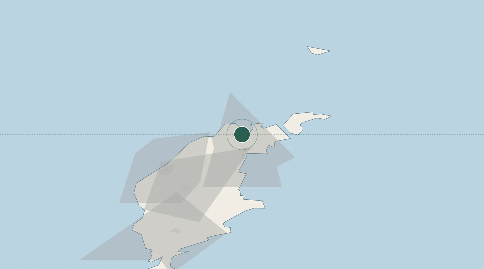
Gotland
Time zone
Europe/Stockholm
Elevation
4 m
Location
Nearby Logistics Neighbours
Ports
- 1Storugns2 km
- 2Slite17 km
- 3Farosund17 km
- 4Visby38 km
- 5Klintehamn62 km
Airports
- 1Visby Airport33 km
- 2Stockholm Skavsta Airport151 km
- 3Norrköping Airport169 km
- 4Stockholm-Bromma Airport174 km
- 5Kalmar Airport198 km
Trade Zones
- 1Free port of Ventspils171 km
- 2Stockholm Free Zone171 km
- 3Liepāja SEZ219 km
- 4Jönköping Free Zone278 km
- 5Akmenė Free Economic Zone298 km
DatabookThe Record of Consolidated Knowledge
Sweden beyond logistics?