Transport Functions
Port
Rail
Road
Airport
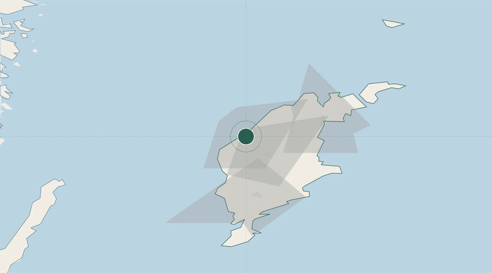
Hub Profile
Place type
Regional capital
Region
Gotland
Population
23,402
Time zone
Europe/Stockholm
Elevation
22 m
Location
Nearby Logistics Neighbours
Cities
- 1Tofta16 km
- 2Klintehamn27 km
- 3Slite31 km
- 4Storugns33 km
- 5Kappelshamn38 km
Ports
- 1Klintehamn28 km
- 2Slite32 km
- 3Storugns37 km
- 4Farosund55 km
- 5Ronehamn59 km
Airports
- 1Visby Airport4 km
- 2Stockholm Skavsta Airport152 km
- 3Norrköping Airport160 km
- 4Kalmar Airport161 km
- 5Stockholm-Bromma Airport193 km
Trade Zones
- 1Stockholm Free Zone191 km
- 2Free port of Ventspils194 km
- 3Liepāja SEZ221 km
- 4Jönköping Free Zone250 km
- 5Klaipėda Free Economic Zone301 km
DatabookThe Record of Consolidated Knowledge
Sweden beyond logistics?