Transport Functions
Port
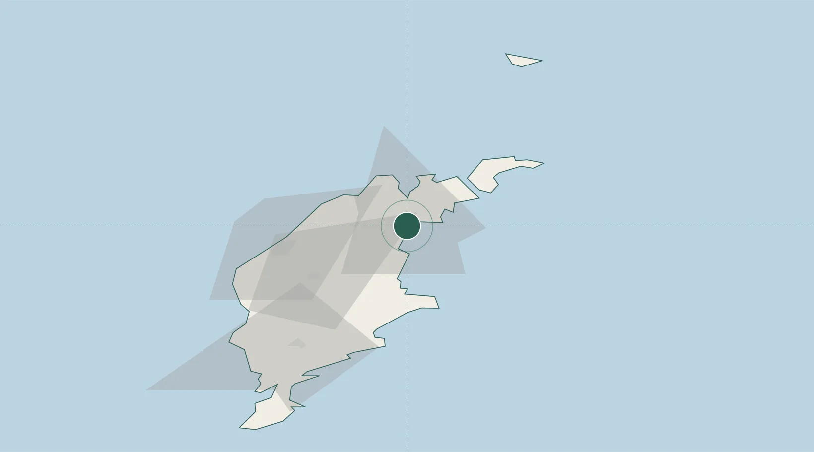
Hub Profile
Place type
Populated place
Region
Gotland
Population
946
Time zone
Europe/Stockholm
Elevation
5 m
Location
Nearby Logistics Neighbours
Cities
- 1Storugns4 km
- 2Kappelshamn15 km
- 3Strå23 km
- 4Visby31 km
- 5Tofta45 km
Ports
- 1Storugns13 km
- 2Farosund27 km
- 3Visby32 km
- 4Klintehamn52 km
- 5Ronehamn69 km
Airports
- 1Visby Airport28 km
- 2Stockholm Skavsta Airport163 km
- 3Norrköping Airport178 km
- 4Stockholm-Bromma Airport189 km
- 5Kalmar Airport190 km
Trade Zones
- 1Free port of Ventspils166 km
- 2Stockholm Free Zone186 km
- 3Liepāja SEZ207 km
- 4Jönköping Free Zone279 km
- 5Akmenė Free Economic Zone289 km
DatabookThe Record of Consolidated Knowledge
Sweden beyond logistics?