Transport Functions
Rail
Road
Hub Profile
Place type
Populated place
Region
Dalarna
Time zone
Europe/Stockholm
Elevation
162 m
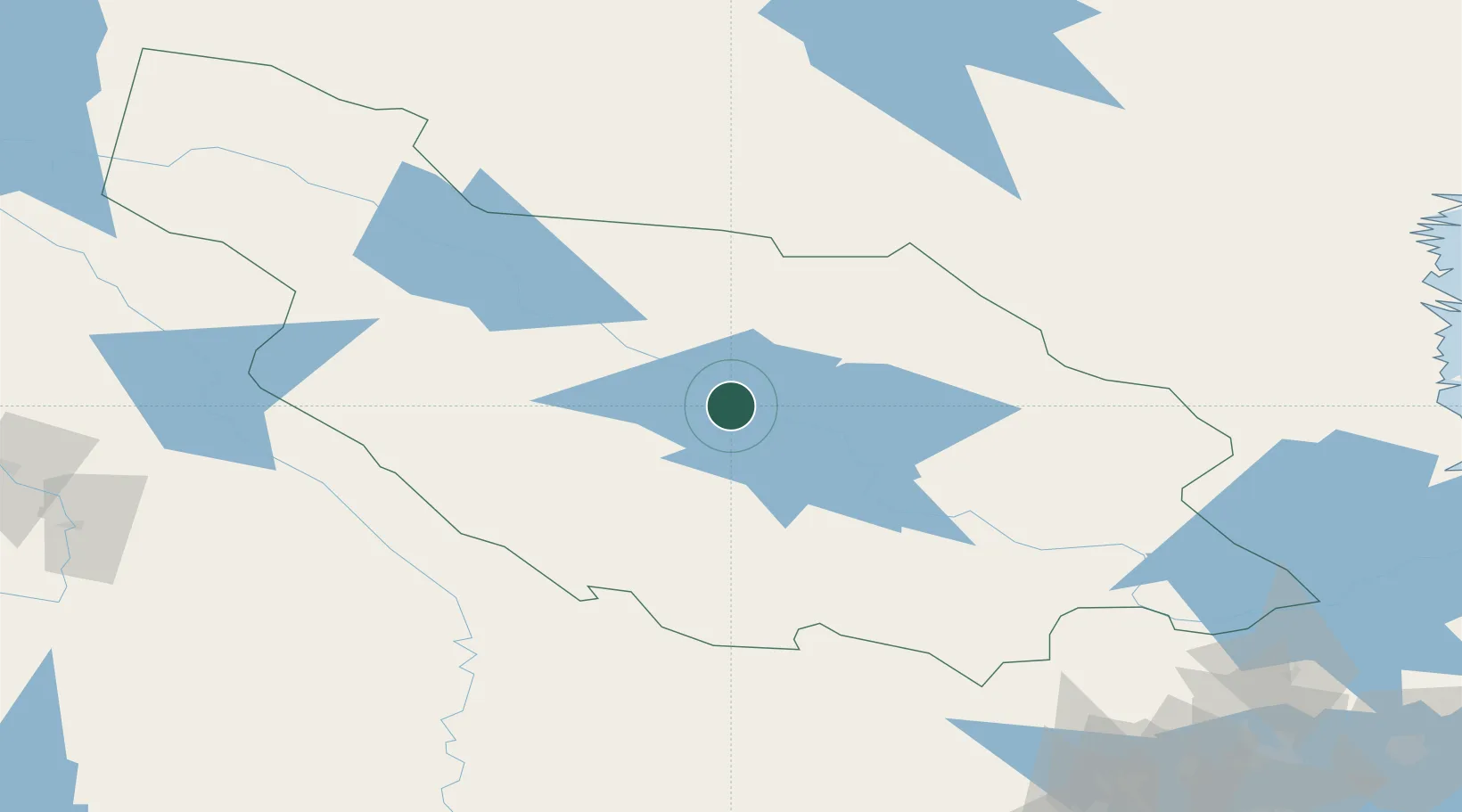
Location
Nearby Logistics Neighbours
Cities
- 1Dala-Järna44 km
- 2Transtrand67 km
- 3Kvarnsveden67 km
- 4Alfta96 km
- 5Grängesberg98 km
Ports
- 1Norrsundet143 km
- 2Soderhamn144 km
- 3Vallvik145 km
- 4Gavle146 km
- 5Sandarne148 km
Airports
- 1Mora Airport3 km
- 2Dala Airport79 km
- 3Scandinavian Mountains Airport94 km
- 4Hagfors Airport114 km
- 5Torsby Airport120 km
Trade Zones
- 1Stockholm Free Zone266 km
- 2Jönköping Free Zone353 km
- 3Gothenburg Boundless Customs Warehouse390 km
- 4Turku Free Zone422 km
- 5Freeport of Hanko476 km
DatabookThe Record of Consolidated Knowledge
Sweden beyond logistics?