Transport Functions
Rail
Road
Hub Profile
Place type
Populated place
Region
Dalarna
Time zone
Europe/Stockholm
Elevation
123 m
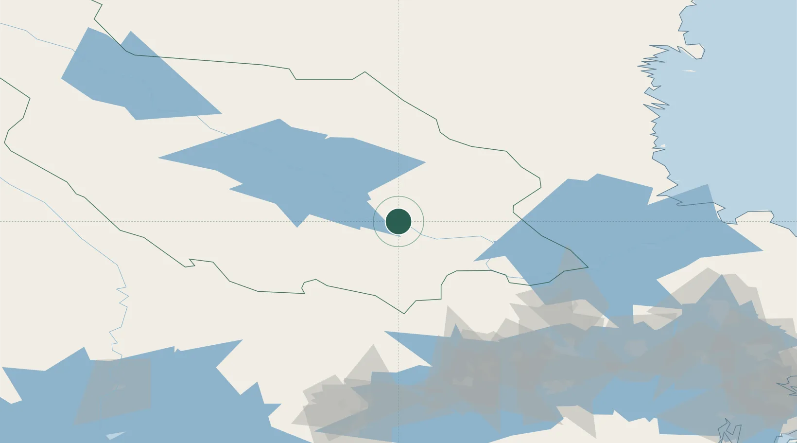
Location
Nearby Logistics Neighbours
Cities
- 1Grängesberg54 km
- 2Dala-Järna59 km
- 3Åshammar64 km
- 4Södra Vika67 km
- 5Möklinta78 km
Ports
- 1Gavle97 km
- 2Karskar103 km
- 3Norrsundet106 km
- 4Skutskar109 km
- 5Vasteras118 km
Airports
- 1Dala Airport12 km
- 2Mora Airport70 km
- 3Gävle Sandviken Airport84 km
- 4Hagfors Airport115 km
- 5Söderhamn Airport123 km
Trade Zones
- 1Stockholm Free Zone199 km
- 2Jönköping Free Zone315 km
- 3Turku Free Zone372 km
- 4Gothenburg Boundless Customs Warehouse374 km
- 5Freeport of Hanko420 km
DatabookThe Record of Consolidated Knowledge
Sweden beyond logistics?