UN/LOCODE hub · Sweden
SEHON

Hönsäter

58.6333°, 13.4167°
2
Transport functions

Transport Functions

Port
Road
UN/LOCODE

Hub Profile

Region
O
GeoNames

Location

Location of SEHON
Natural Earth 10m (public domain) · O · SEHON · 58.63, 13.42GoogleOSMYandex

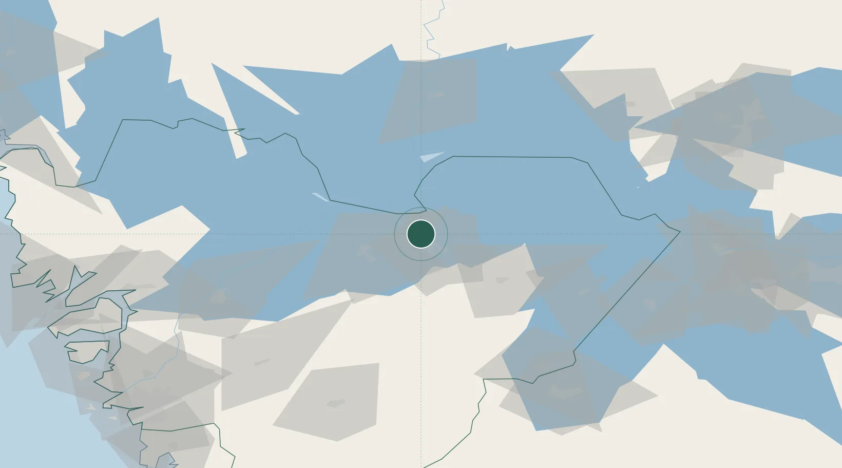
Nearby Logistics Neighbours

Cities
  1. 1Lidköping16 km
  2. 2Mariestad24 km
  3. 3Lindärva25 km
  4. 4Igelstorp41 km
  5. 5Otterbäcken50 km
Nearest neighbours — logibook spatial index (haversine) over the source coordinates
Ports
  1. 1Uddevalla95 km
  2. 2Stenungsund113 km
  3. 3Brofjorden120 km
  4. 4Lysekil122 km
  5. 5Bovallstrand122 km
Nearest neighbours — logibook spatial index (haversine) over the source coordinates
Airports
  1. 1Råda Air Base26 km
  2. 2Skövde Airport38 km
  3. 3Såtenäs Air Base47 km
  4. 4Trollhättan-Vänersborg Airport72 km
  5. 5Karlstad Airport90 km
Nearest neighbours — logibook spatial index (haversine) over the source coordinates
Trade Zones
  1. 1Jönköping Free Zone104 km
  2. 2Gothenburg Boundless Customs Warehouse140 km
  3. 3Stockholm Free Zone280 km
  4. 4Freeport of Copenhagen- Nordhavn328 km
  5. 5MTS Malmö Transport and Spedition337 km
Nearest neighbours — logibook spatial index (haversine) over the source coordinates
DatabookThe Record of Consolidated Knowledge
Sweden beyond logistics?
Browse databook

All Sources

LocationsUN/LOCODE
UN/LOCODE — free
Portsthe NGA World Port Index
Public domain (US gov)
AirportsOurAirports
Public domain
Trade Zonesthe World Bank SEZ database
CC BY 4.0
Trade ZonesOpen Zone Map
CC BY
← Sweden locations