UN/LOCODE hub · Sweden
SEMLE

Mölle

56.2833°, 12.5000°
2
Transport functions

Transport Functions

Port
Road
UN/LOCODE

Hub Profile

Region
M
GeoNames

Location

Location of SEMLE
Natural Earth 10m (public domain) · M · SEMLE · 56.28, 12.50GoogleOSMYandex

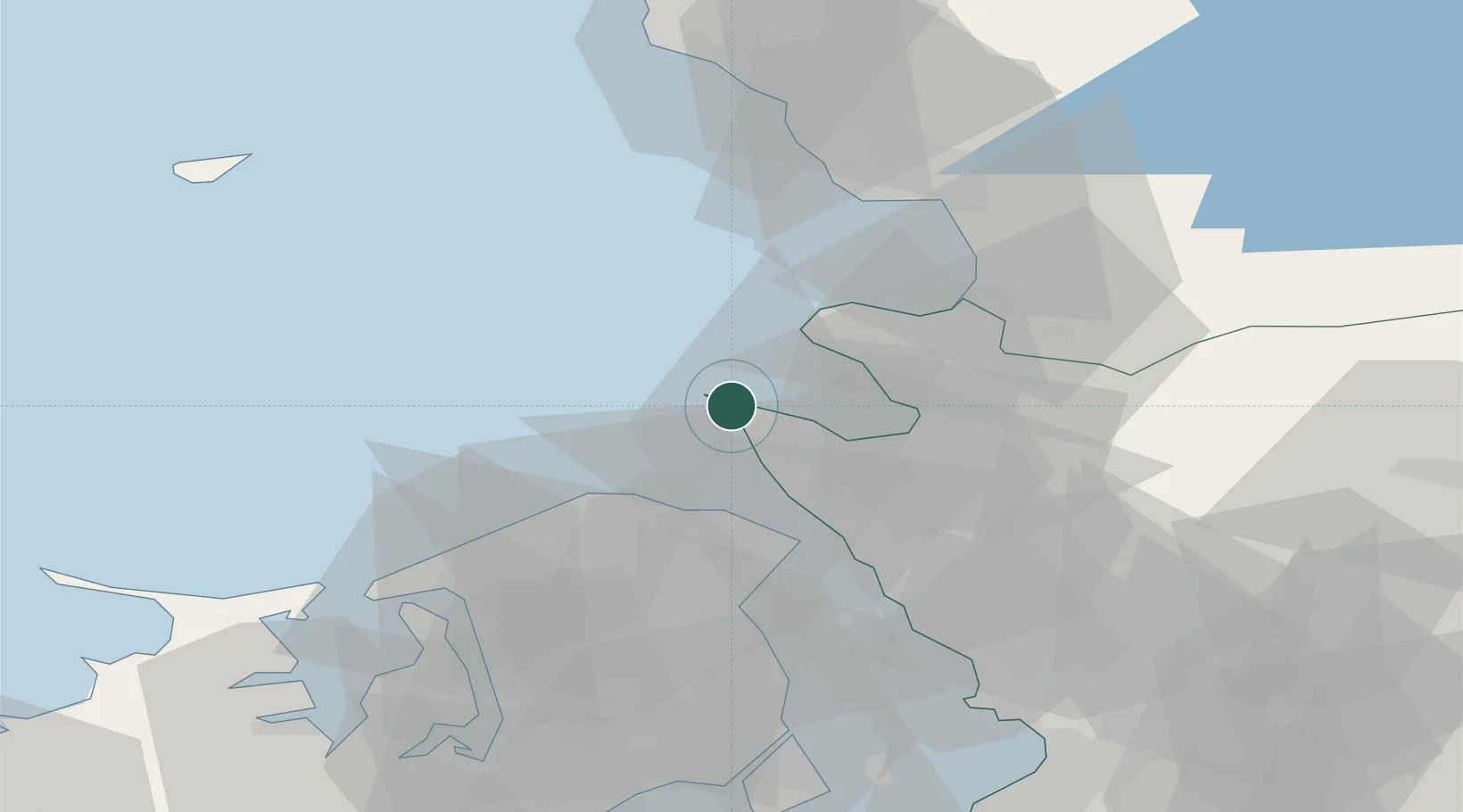
Nearby Logistics Neighbours

Cities
  1. 1Höganäs10 km
  2. 2Saunte22 km
  3. 3Ålsgårde23 km
  4. 4Hellebæk24 km
  5. 5Ödåkra25 km
Nearest neighbours — logibook spatial index (haversine) over the source coordinates
Ports
  1. 1Hoganas10 km
  2. 2Helsingor29 km
  3. 3Helsingborg30 km
  4. 4Frederiksvaerk46 km
  5. 5Halmstad48 km
Nearest neighbours — logibook spatial index (haversine) over the source coordinates
Airports
  1. 1Ängelholm-Helsingborg Airport22 km
  2. 2Ljungbyhed Airfield49 km
  3. 3Halmstad Airport49 km
  4. 4København Vandflyveplads66 km
  5. 5Anholt Airfield74 km
Nearest neighbours — logibook spatial index (haversine) over the source coordinates
Trade Zones
  1. 1Freeport of Copenhagen- Nordhavn64 km
  2. 2MTS Malmö Transport and Spedition84 km
  3. 3Gothenburg Boundless Customs Warehouse164 km
  4. 4Jönköping Free Zone191 km
  5. 5Freeport of Kiel262 km
Nearest neighbours — logibook spatial index (haversine) over the source coordinates
DatabookThe Record of Consolidated Knowledge
Sweden beyond logistics?
Browse databook

All Sources

LocationsUN/LOCODE
UN/LOCODE — free
Portsthe NGA World Port Index
Public domain (US gov)
AirportsOurAirports
Public domain
Trade Zonesthe World Bank SEZ database
CC BY 4.0
Trade ZonesOpen Zone Map
CC BY
← Sweden locations