Transport Functions
Port
Rail
Road
Hub Profile
Place type
Populated place
Region
Kalmar
Time zone
Europe/Stockholm
Elevation
89 m
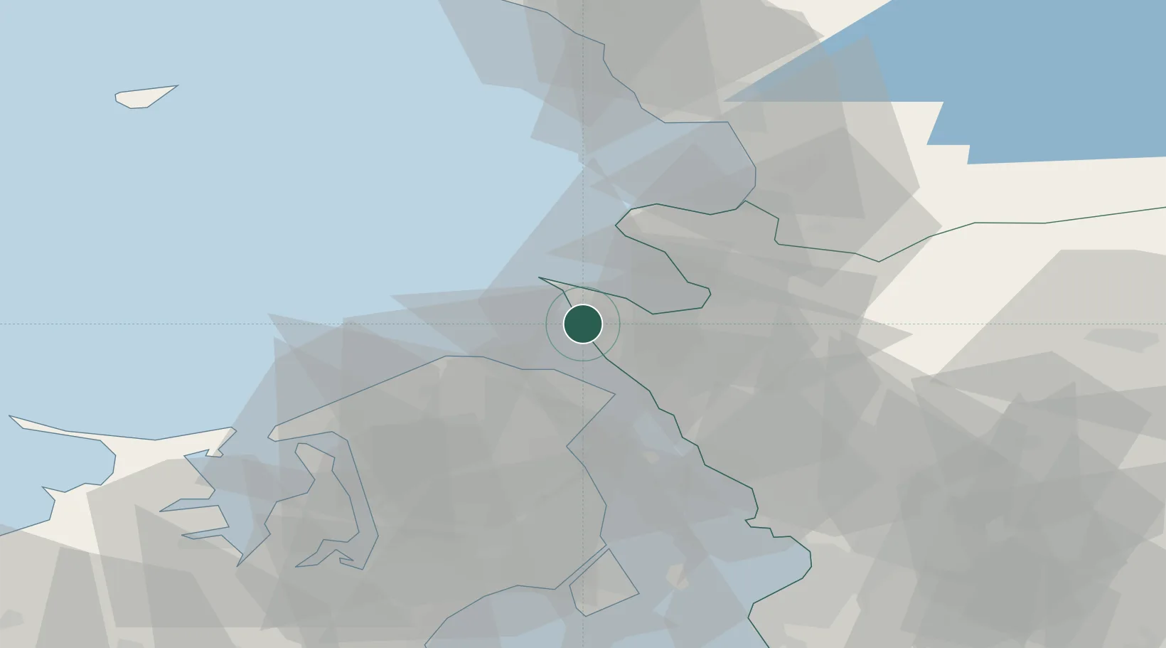
Location
Nearby Logistics Neighbours
Ports
- 1Helsingor19 km
- 2Helsingborg20 km
- 3Landskrona42 km
- 4Frederiksvaerk42 km
- 5Hundested Havn51 km
Airports
- 1Ängelholm-Helsingborg Airport21 km
- 2Ljungbyhed Airfield43 km
- 3København Vandflyveplads57 km
- 4Halmstad Airport57 km
- 5Copenhagen Kastrup Airport65 km
Trade Zones
DatabookThe Record of Consolidated Knowledge
Sweden beyond logistics?