UN/LOCODE hub · Sweden
SEODA

Ödåkra

56.1000°, 12.7333°
2
Transport functions

Transport Functions

Rail
Road
UN/LOCODE

Hub Profile

Region
M
GeoNames

Location

Location of SEODA
Natural Earth 10m (public domain) · M · SEODA · 56.10, 12.73GoogleOSMYandex

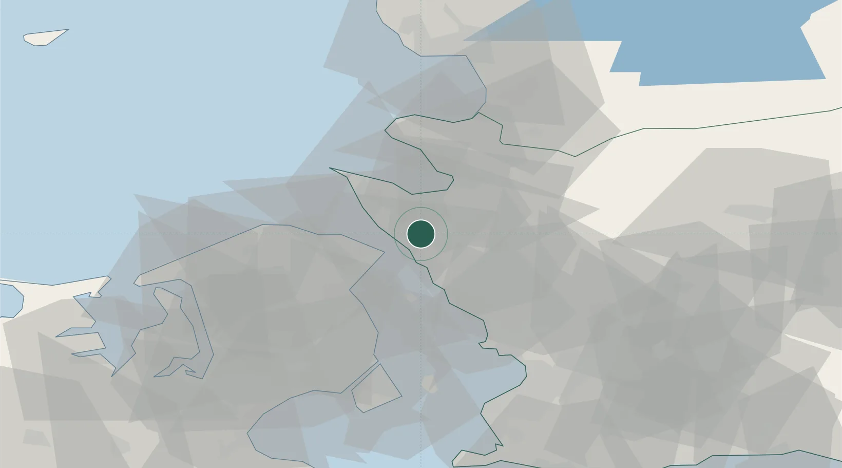
Nearby Logistics Neighbours

Cities
  1. 1Helsingborg6 km
  2. 2Nyvång11 km
  3. 3Hellebæk11 km
  4. 4Ålsgårde12 km
  5. 5Saunte15 km
Nearest neighbours — logibook spatial index (haversine) over the source coordinates
Ports
  1. 1Helsingborg8 km
  2. 2Helsingor10 km
  3. 3Hoganas16 km
  4. 4Landskrona27 km
  5. 5Tuborg44 km
Nearest neighbours — logibook spatial index (haversine) over the source coordinates
Airports
  1. 1Ängelholm-Helsingborg Airport23 km
  2. 2Ljungbyhed Airfield30 km
  3. 3København Vandflyveplads46 km
  4. 4Copenhagen Kastrup Airport54 km
  5. 5Halmstad Airport66 km
Nearest neighbours — logibook spatial index (haversine) over the source coordinates
Trade Zones
  1. 1Freeport of Copenhagen- Nordhavn44 km
  2. 2MTS Malmö Transport and Spedition59 km
  3. 3Gothenburg Boundless Customs Warehouse187 km
  4. 4Jönköping Free Zone203 km
  5. 5Freeport of Kiel255 km
Nearest neighbours — logibook spatial index (haversine) over the source coordinates
DatabookThe Record of Consolidated Knowledge
Sweden beyond logistics?
Browse databook

All Sources

LocationsUN/LOCODE
UN/LOCODE — free
Portsthe NGA World Port Index
Public domain (US gov)
AirportsOurAirports
Public domain
Trade Zonesthe World Bank SEZ database
CC BY 4.0
Trade ZonesOpen Zone Map
CC BY
← Sweden locations