Transport Functions
Rail
Road
Hub Profile
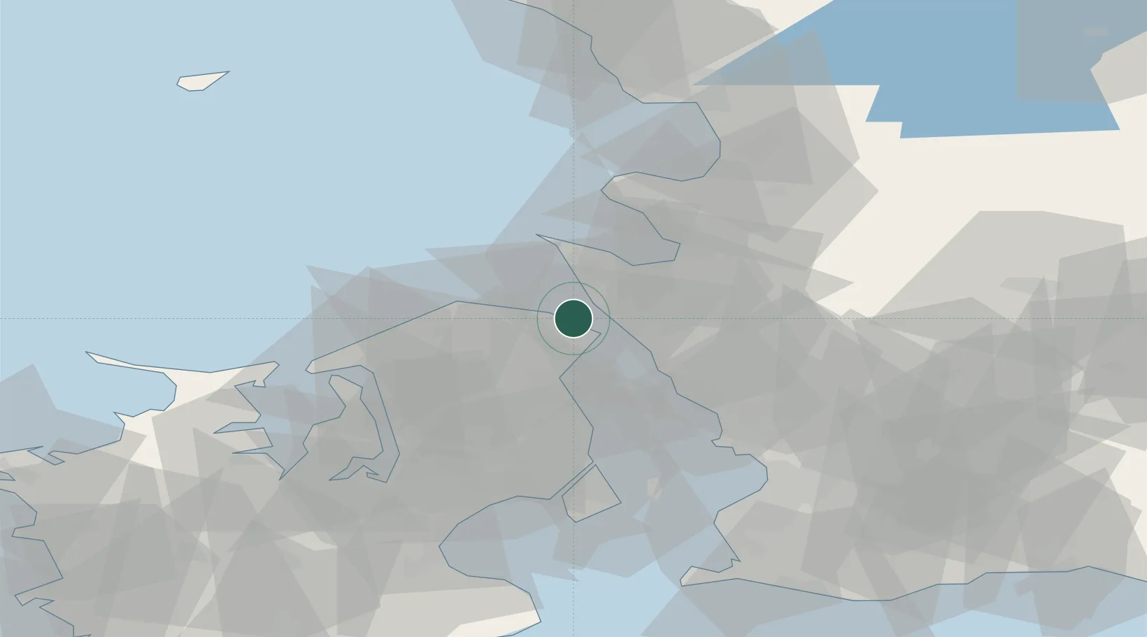
Place type
Populated place
Region
Capital Region
Population
5,790
Time zone
Europe/Copenhagen
Elevation
22 m
Location
Nearby Logistics Neighbours
Cities
- 1Hellebæk2 km
- 2Saunte3 km
- 3Tikøb9 km
- 4Ödåkra12 km
- 5Helsingborg12 km
Ports
- 1Helsingor7 km
- 2Helsingborg10 km
- 3Hoganas13 km
- 4Landskrona30 km
- 5Frederiksvaerk36 km
Airports
Trade Zones
DatabookThe Record of Consolidated Knowledge
Denmark beyond logistics?