UN/LOCODE hub · Denmark
DKHVT

Hellebæk

56.0667°, 12.5667°
2
Transport functions

Transport Functions

Port
Road
UN/LOCODE

Hub Profile

Region
81
GeoNames

Location

Location of DKHVT
Natural Earth 10m (public domain) · 81 · DKHVT · 56.07, 12.57GoogleOSMYandex

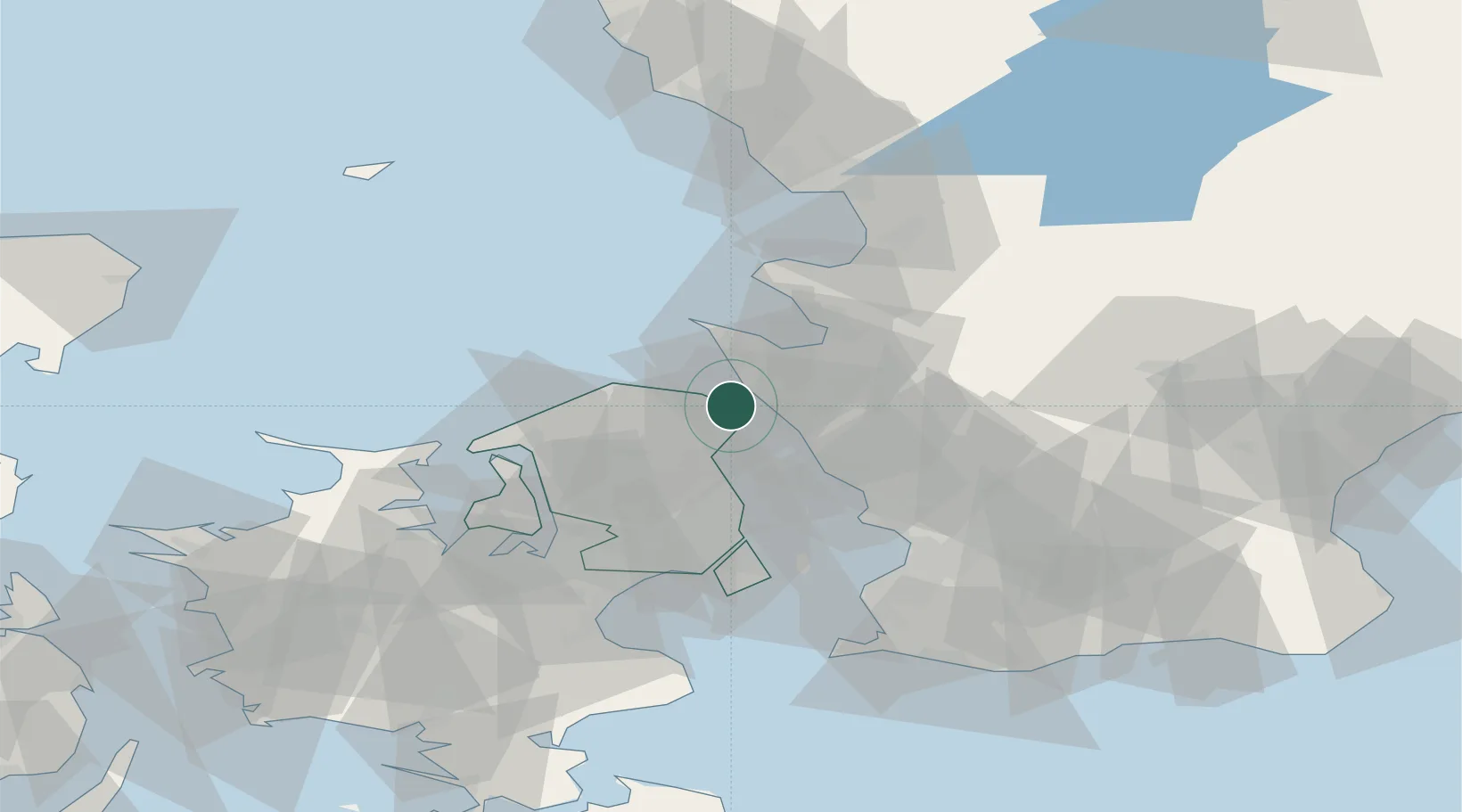
Nearby Logistics Neighbours

Cities
  1. 1Ålsgårde2 km
  2. 2Saunte5 km
  3. 3Tikøb8 km
  4. 4Helsingborg10 km
  5. 5Ödåkra11 km
Nearest neighbours — logibook spatial index (haversine) over the source coordinates
Ports
  1. 1Helsingor5 km
  2. 2Helsingborg8 km
  3. 3Hoganas15 km
  4. 4Landskrona28 km
  5. 5Frederiksvaerk36 km
Nearest neighbours — logibook spatial index (haversine) over the source coordinates
Airports
  1. 1Ängelholm-Helsingborg Airport31 km
  2. 2Ljungbyhed Airfield40 km
  3. 3København Vandflyveplads42 km
  4. 4Copenhagen Kastrup Airport50 km
  5. 5Copenhagen Roskilde Airport60 km
Nearest neighbours — logibook spatial index (haversine) over the source coordinates
Trade Zones
  1. 1Freeport of Copenhagen- Nordhavn39 km
  2. 2MTS Malmö Transport and Spedition61 km
  3. 3Gothenburg Boundless Customs Warehouse188 km
  4. 4Jönköping Free Zone211 km
  5. 5Freeport of Kiel245 km
Nearest neighbours — logibook spatial index (haversine) over the source coordinates
DatabookThe Record of Consolidated Knowledge
Denmark beyond logistics?
Browse databook

All Sources

LocationsUN/LOCODE
UN/LOCODE — free
Portsthe NGA World Port Index
Public domain (US gov)
AirportsOurAirports
Public domain
Trade Zonesthe World Bank SEZ database
CC BY 4.0
Trade ZonesOpen Zone Map
CC BY
← Denmark locations