UN/LOCODE hub · Denmark
DKSAU

Saunte

56.0833°, 12.5000°
1
Transport functions

Transport Functions

Multimodal
UN/LOCODE

Hub Profile

Place type
Populated place
GeoNames
Region
Capital Region
GeoNames
Time zone
Europe/Copenhagen
GeoNames
Elevation
26 m
GeoNames

Location

Location of DKSAU
Natural Earth 10m (public domain) · Capital Region · DKSAU · 56.08, 12.50GoogleOSMYandex

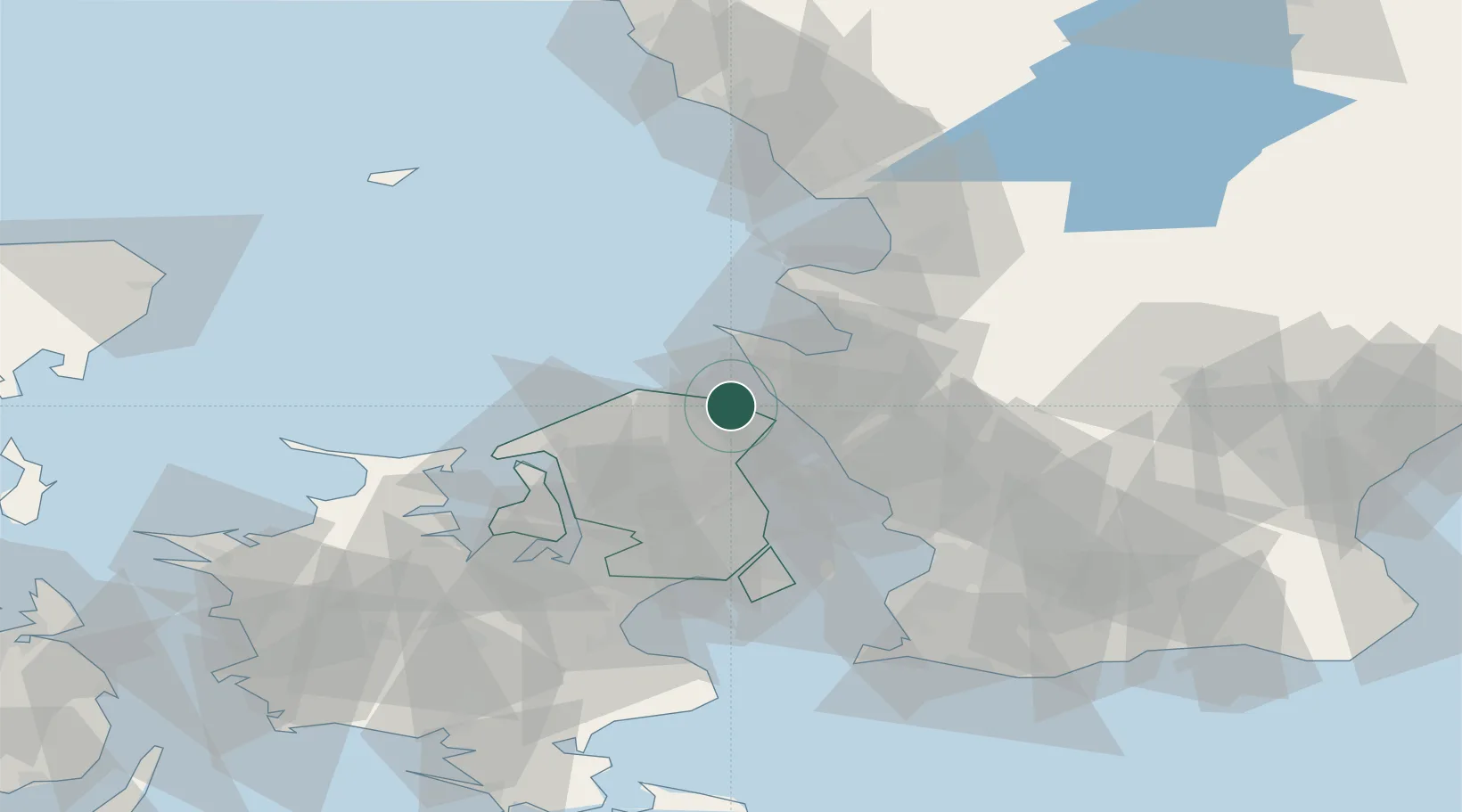
Nearby Logistics Neighbours

Cities
  1. 1Ålsgårde3 km
  2. 2Hellebæk5 km
  3. 3Tikøb8 km
  4. 4Humlebæk13 km
  5. 5Höganäs13 km
Nearest neighbours — logibook spatial index (haversine) over the source coordinates
Ports
  1. 1Helsingor9 km
  2. 2Helsingborg13 km
  3. 3Hoganas13 km
  4. 4Landskrona32 km
  5. 5Frederiksvaerk33 km
Nearest neighbours — logibook spatial index (haversine) over the source coordinates
Airports
  1. 1Ängelholm-Helsingborg Airport32 km
  2. 2København Vandflyveplads44 km
  3. 3Ljungbyhed Airfield44 km
  4. 4Copenhagen Kastrup Airport53 km
  5. 5Copenhagen Roskilde Airport60 km
Nearest neighbours — logibook spatial index (haversine) over the source coordinates
Trade Zones
  1. 1Freeport of Copenhagen- Nordhavn42 km
  2. 2MTS Malmö Transport and Spedition65 km
  3. 3Gothenburg Boundless Customs Warehouse185 km
  4. 4Jönköping Free Zone211 km
  5. 5Freeport of Kiel244 km
Nearest neighbours — logibook spatial index (haversine) over the source coordinates
DatabookThe Record of Consolidated Knowledge
Denmark beyond logistics?
Browse databook

All Sources

LocationsUN/LOCODE
UN/LOCODE — free
Portsthe NGA World Port Index
Public domain (US gov)
AirportsOurAirports
Public domain
Trade Zonesthe World Bank SEZ database
CC BY 4.0
Trade ZonesOpen Zone Map
CC BY
← Denmark locations