Transport Functions
Road
Multimodal
Hub Profile
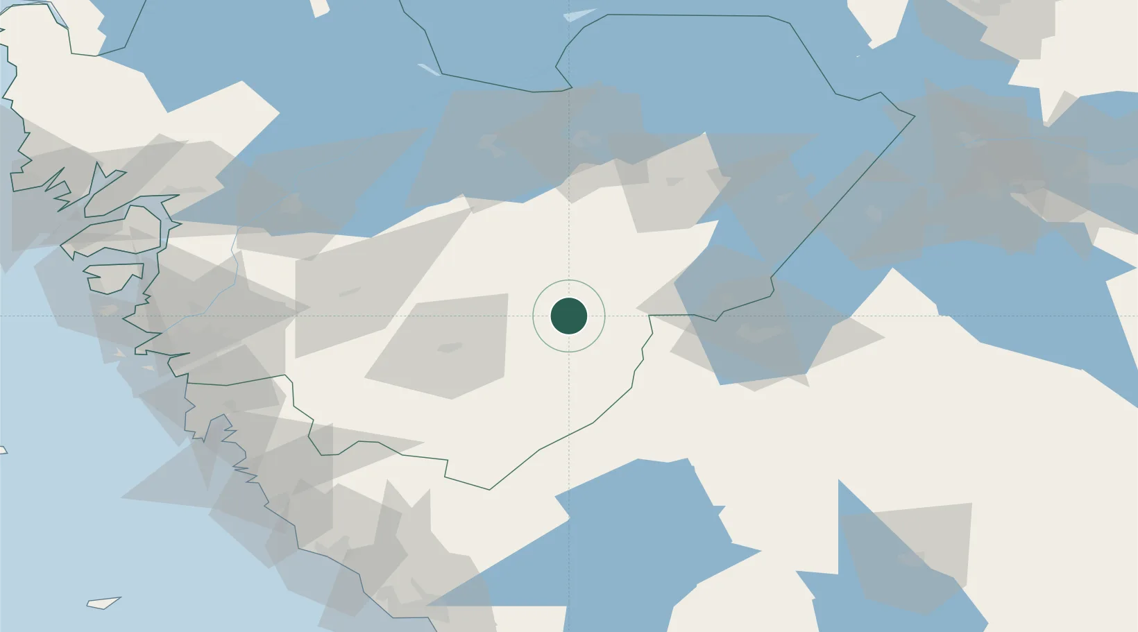
Place type
Populated place
Region
Västra Götaland
Population
788
Time zone
Europe/Stockholm
Elevation
183 m
Location
Nearby Logistics Neighbours
Ports
- 1Goteborg89 km
- 2Stenungsund100 km
- 3Uddevalla106 km
- 4Marstrand109 km
- 5Varberg109 km
Airports
- 1Jönköping Airport39 km
- 2Göteborg Landvetter Airport72 km
- 3Skövde Airport75 km
- 4Råda Air Base75 km
- 5Såtenäs Air Base77 km
Trade Zones
DatabookThe Record of Consolidated Knowledge
Sweden beyond logistics?