Transport Functions
Port
Road
Hub Profile
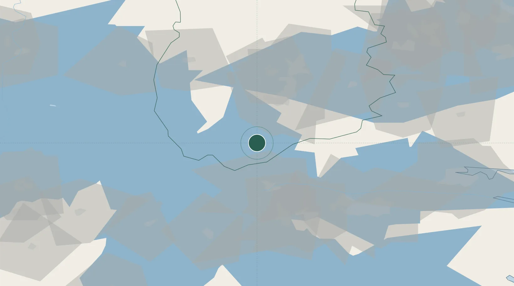
Place type
Populated place
Region
Örebro
Population
266
Time zone
Europe/Stockholm
Elevation
95 m
Location
Nearby Logistics Neighbours
Cities
- 1Zinkgruvan8 km
- 2Åsbro21 km
- 3Ljusfallshammar32 km
- 4Pålsboda36 km
- 5Mullhyttan40 km
Ports
- 1Norrkoping77 km
- 2Nykoping119 km
- 3Oxelosund126 km
- 4Vasteras127 km
- 5Verkeback152 km
Airports
- 1Örebro Airport46 km
- 2Malmen Air Base57 km
- 3Linköping City Airport63 km
- 4Karlskoga Airport64 km
- 5Skövde Airport69 km
Trade Zones
DatabookThe Record of Consolidated Knowledge
Sweden beyond logistics?