UN/LOCODE hub · Sweden
SESZM

Möklinta

60.0833°, 16.5333°
2
Transport functions

Transport Functions

Road
Multimodal
UN/LOCODE

Hub Profile

Region
U
GeoNames

Location

Location of SESZM
Natural Earth 10m (public domain) · U · SESZM · 60.08, 16.53GoogleOSMYandex

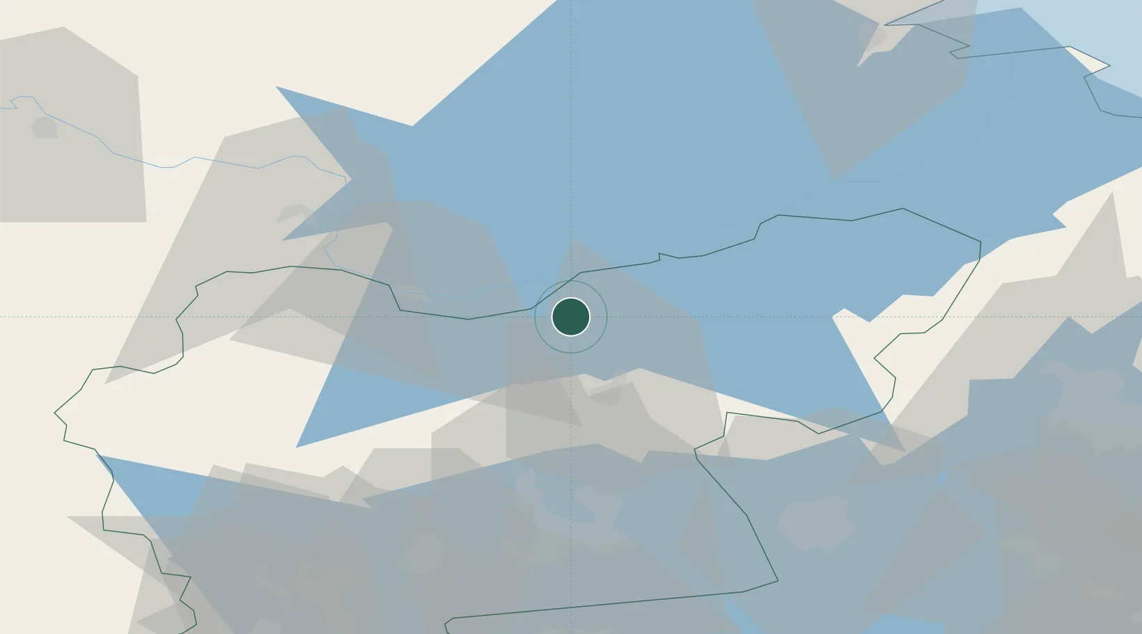
Nearby Logistics Neighbours

Cities
  1. 1Tärnsjö23 km
  2. 2Heby26 km
  3. 3Morgongåva29 km
  4. 4Västerås55 km
  5. 5Enköping56 km
Nearest neighbours — logibook spatial index (haversine) over the source coordinates
Ports
  1. 1Vasteras52 km
  2. 2Gavle75 km
  3. 3Karskar78 km
  4. 4Skutskar79 km
  5. 5Norrsundet101 km
Nearest neighbours — logibook spatial index (haversine) over the source coordinates
Airports
  1. 1Stockholm Västerås Airport55 km
  2. 2Gävle Sandviken Airport61 km
  3. 3Dala Airport68 km
  4. 4Eskilstuna Airport82 km
  5. 5Stockholm-Arlanda Airport92 km
Nearest neighbours — logibook spatial index (haversine) over the source coordinates
Trade Zones
  1. 1Stockholm Free Zone121 km
  2. 2Jönköping Free Zone293 km
  3. 3Turku Free Zone316 km
  4. 4Freeport of Hanko355 km
  5. 5Gothenburg Boundless Customs Warehouse379 km
Nearest neighbours — logibook spatial index (haversine) over the source coordinates
DatabookThe Record of Consolidated Knowledge
Sweden beyond logistics?
Browse databook

All Sources

LocationsUN/LOCODE
UN/LOCODE — free
Portsthe NGA World Port Index
Public domain (US gov)
AirportsOurAirports
Public domain
Trade Zonesthe World Bank SEZ database
CC BY 4.0
Trade ZonesOpen Zone Map
CC BY
← Sweden locations