UN/LOCODE hub · Sweden
SERBY

Ronnebyhamn

56.1833°, 15.3000°
749
Population
3
Transport functions

Transport Functions

Port
Rail
Road
UN/LOCODE

Hub Profile

Place type
Populated place
GeoNames
Region
Blekinge
GeoNames
Population
749
GeoNames
Time zone
Europe/Stockholm
GeoNames
Elevation
5 m
GeoNames

Location

Location of SERBY
Natural Earth 10m (public domain) · Blekinge · SERBY · 56.18, 15.30GoogleOSMYandex

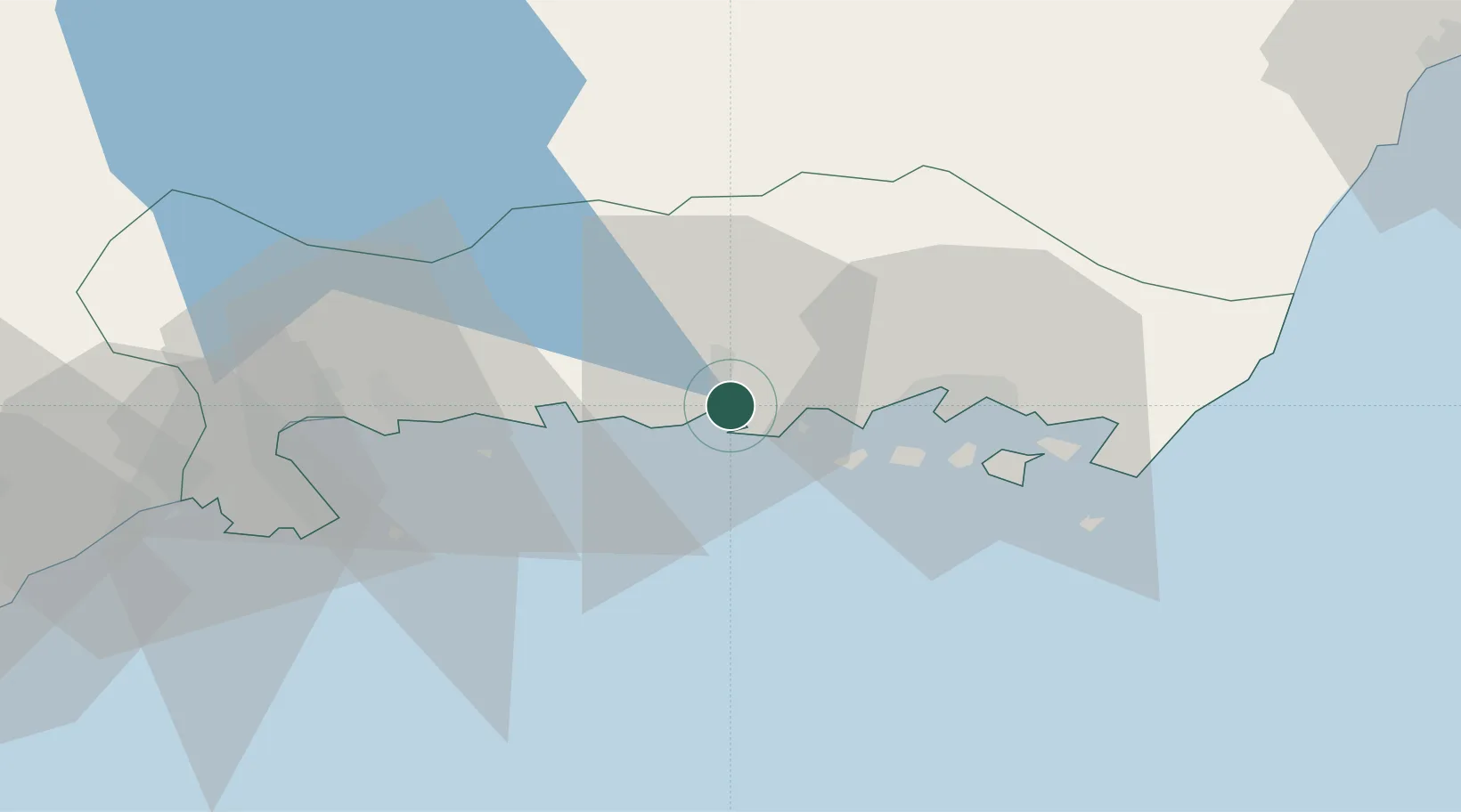
Nearby Logistics Neighbours

Cities
  1. 1Ronneby2 km
  2. 2Kallinge6 km
  3. 3Fredriksdal14 km
  4. 4Nättraby14 km
  5. 5Karlskrona18 km
Nearest neighbours — logibook spatial index (haversine) over the source coordinates
Ports
  1. 1Ronneby1 km
  2. 2Karlskrona19 km
  3. 3Karlshamn27 km
  4. 4Solvesborg47 km
  5. 5Bergkvara54 km
Nearest neighbours — logibook spatial index (haversine) over the source coordinates
Airports
  1. 1Ronneby Airport10 km
  2. 2Kristianstad Airport81 km
  3. 3Kalmar Airport83 km
  4. 4Växjö Kronoberg Airport90 km
  5. 5Bornholm Airport129 km
Nearest neighbours — logibook spatial index (haversine) over the source coordinates
Trade Zones
  1. 1MTS Malmö Transport and Spedition152 km
  2. 2Freeport of Copenhagen- Nordhavn176 km
  3. 3Jönköping Free Zone191 km
  4. 4Słupsk SEZ (Słupska SSE)220 km
  5. 5Swinoujscie Duty Free Zone263 km
Nearest neighbours — logibook spatial index (haversine) over the source coordinates
DatabookThe Record of Consolidated Knowledge
Sweden beyond logistics?
Browse databook

All Sources

LocationsUN/LOCODE
UN/LOCODE — free
LocationsGeoNames
CC BY 4.0
Portsthe NGA World Port Index
Public domain (US gov)
AirportsOurAirports
Public domain
Trade Zonesthe World Bank SEZ database
CC BY 4.0
Trade ZonesOpen Zone Map
CC BY
← Sweden locations