Transport Functions
Multimodal
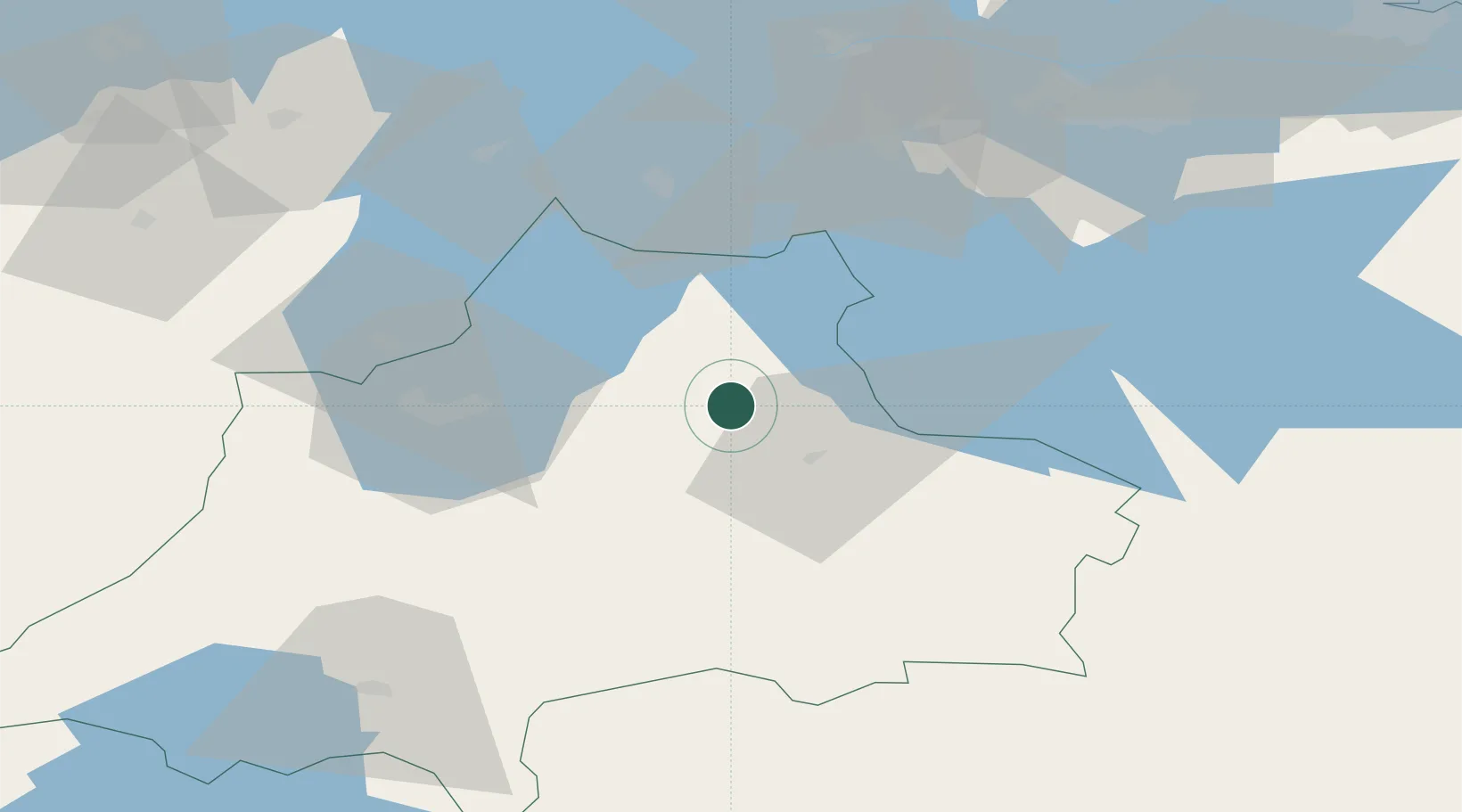
Hub Profile
Place type
Populated place
Region
Jönköping
Population
215
Time zone
Europe/Stockholm
Elevation
232 m
Location
Nearby Logistics Neighbours
Ports
- 1Verkeback103 km
- 2Vastervik110 km
- 3Figeholm111 km
- 4Oskarshamn114 km
- 5Norrkoping121 km
Airports
- 1Jönköping Airport44 km
- 2Malmen Air Base80 km
- 3Linköping City Airport87 km
- 4Skövde Airport89 km
- 5Växjö Kronoberg Airport95 km
Trade Zones
DatabookThe Record of Consolidated Knowledge
Sweden beyond logistics?