Transport Functions
Rail
Road
Hub Profile
Place type
Populated place
Region
Västra Götaland
Time zone
Europe/Stockholm
Elevation
68 m
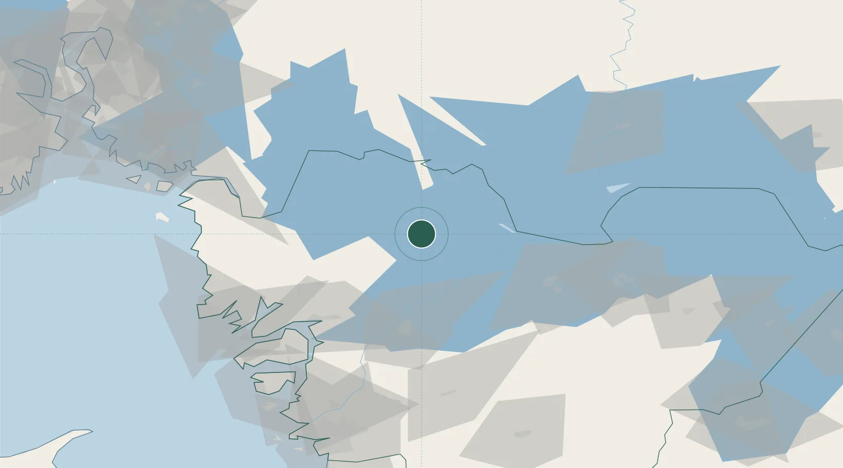
Location
Nearby Logistics Neighbours
Cities
- 1Åmål32 km
- 2Frändefors34 km
- 3Stenungsund35 km
- 4Säffle47 km
- 5Vargön48 km
Ports
- 1Uddevalla60 km
- 2Grebbestad69 km
- 3Halden69 km
- 4Fjallbacka70 km
- 5Bovallstrand72 km
Airports
- 1Såtenäs Air Base45 km
- 2Råda Air Base50 km
- 3Trollhättan-Vänersborg Airport54 km
- 4Karlstad Airport89 km
- 5Skövde Airport98 km
Trade Zones
DatabookThe Record of Consolidated Knowledge
Sweden beyond logistics?