Transport Functions
Port
Rail
Road
Hub Profile
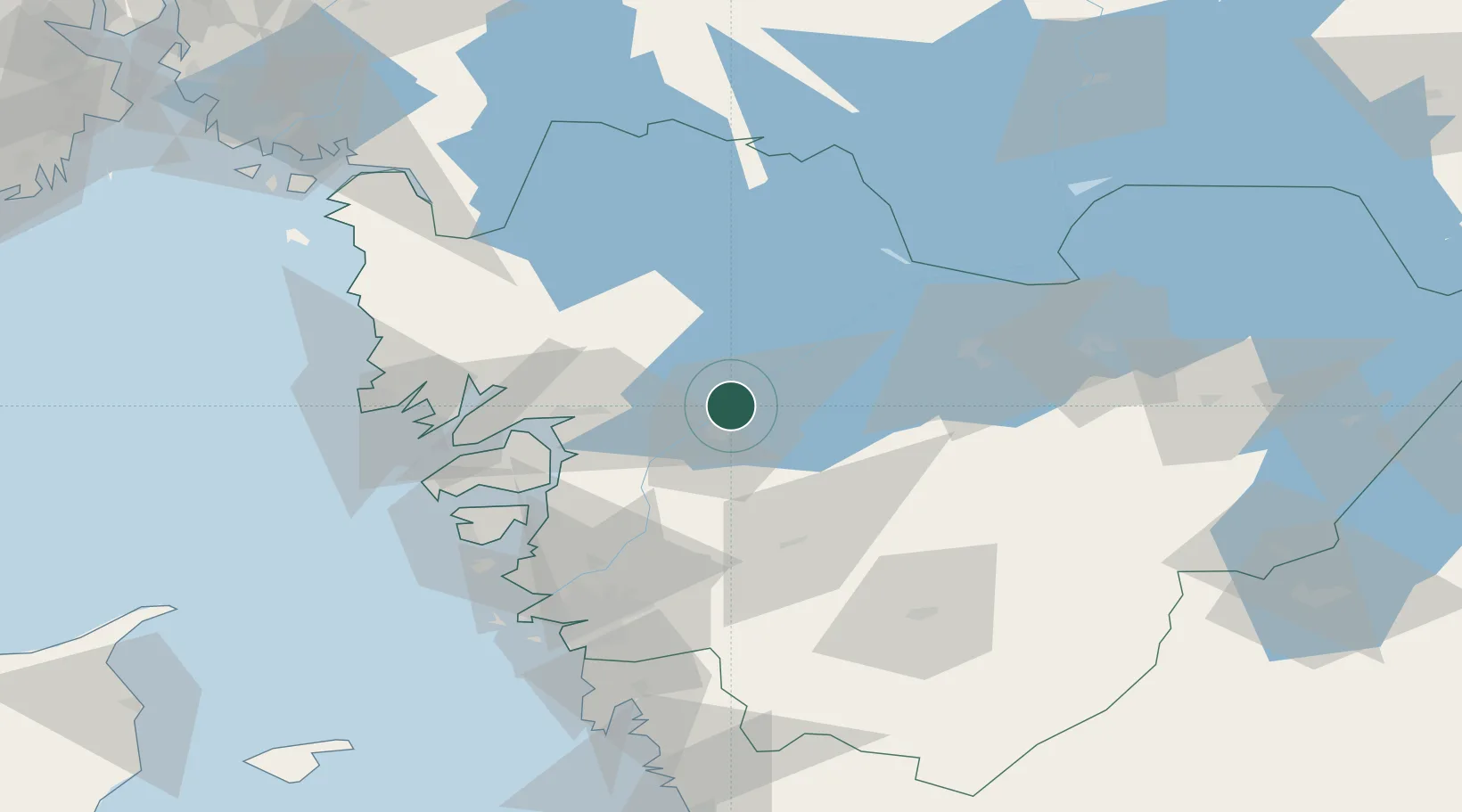
Place type
Populated place
Region
Västra Götaland
Population
4,981
Time zone
Europe/Stockholm
Elevation
59 m
Location
Nearby Logistics Neighbours
Cities
- 1Vänersborg3 km
- 2Trollhättan12 km
- 3Frändefors16 km
- 4Sjuntorp21 km
- 5Uddevalla26 km
Ports
- 1Uddevalla29 km
- 2Stenungsund46 km
- 3Lysekil55 km
- 4Brofjorden55 km
- 5Bovallstrand62 km
Airports
- 1Trollhättan-Vänersborg Airport6 km
- 2Såtenäs Air Base21 km
- 3Råda Air Base43 km
- 4Säve Airport72 km
- 5Göteborg Landvetter Airport78 km
Trade Zones
DatabookThe Record of Consolidated Knowledge
Sweden beyond logistics?