Transport Functions
Port
Rail
Road
Hub Profile
Region
S
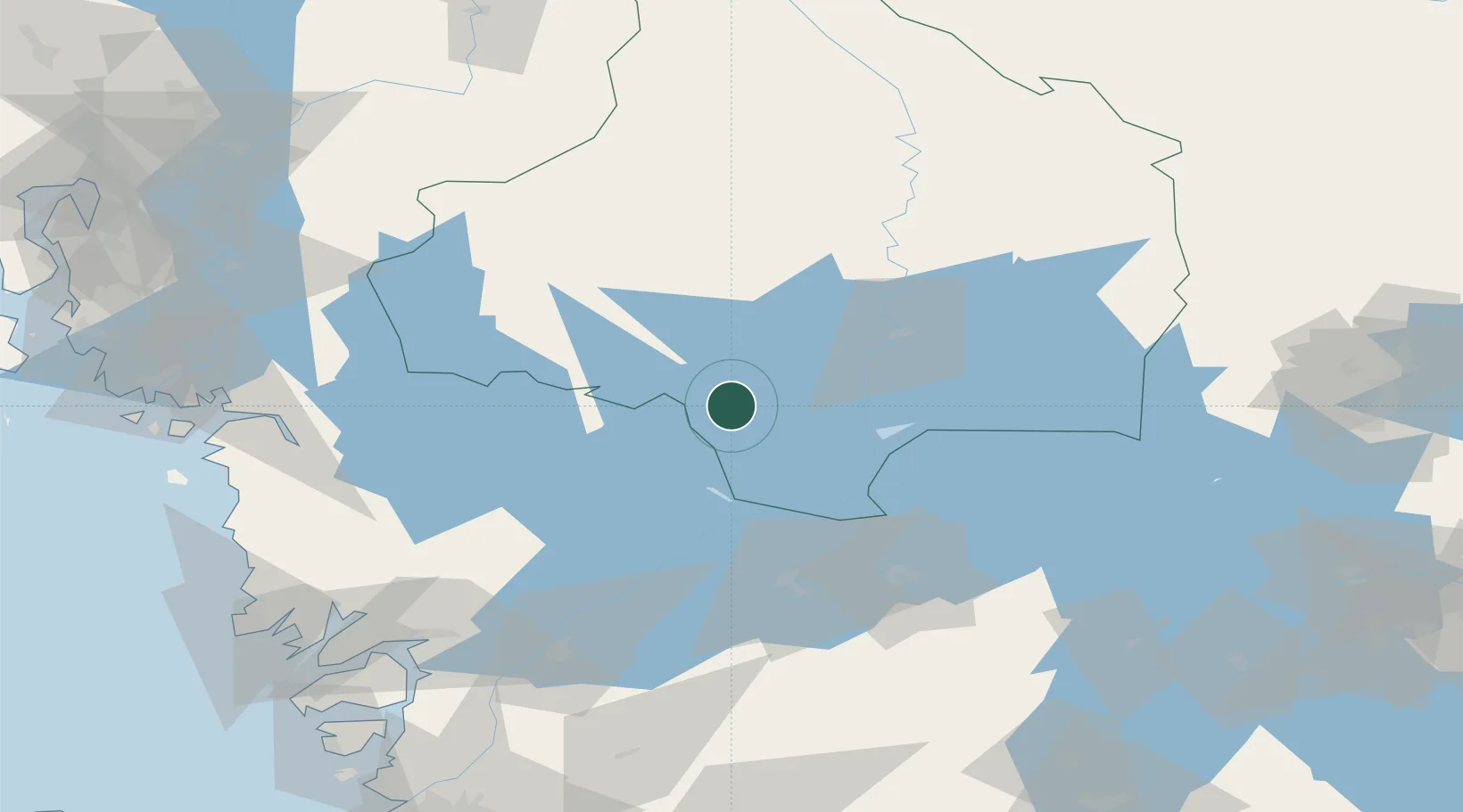
Location
Nearby Logistics Neighbours
Ports
- 1Halden88 km
- 2Stromstad103 km
- 3Sarpsborg105 km
- 4Uddevalla107 km
- 5Grebbestad108 km
Airports
- 1Karlstad Airport42 km
- 2Råda Air Base71 km
- 3Såtenäs Air Base80 km
- 4Karlskoga Airport93 km
- 5Trollhättan-Vänersborg Airport97 km
Trade Zones
DatabookThe Record of Consolidated Knowledge
Sweden beyond logistics?