Transport Functions
Port
Rail
Road
Hub Profile
Place type
Provincial seat
Region
Västra Götaland
Population
9,373
Time zone
Europe/Stockholm
Elevation
52 m
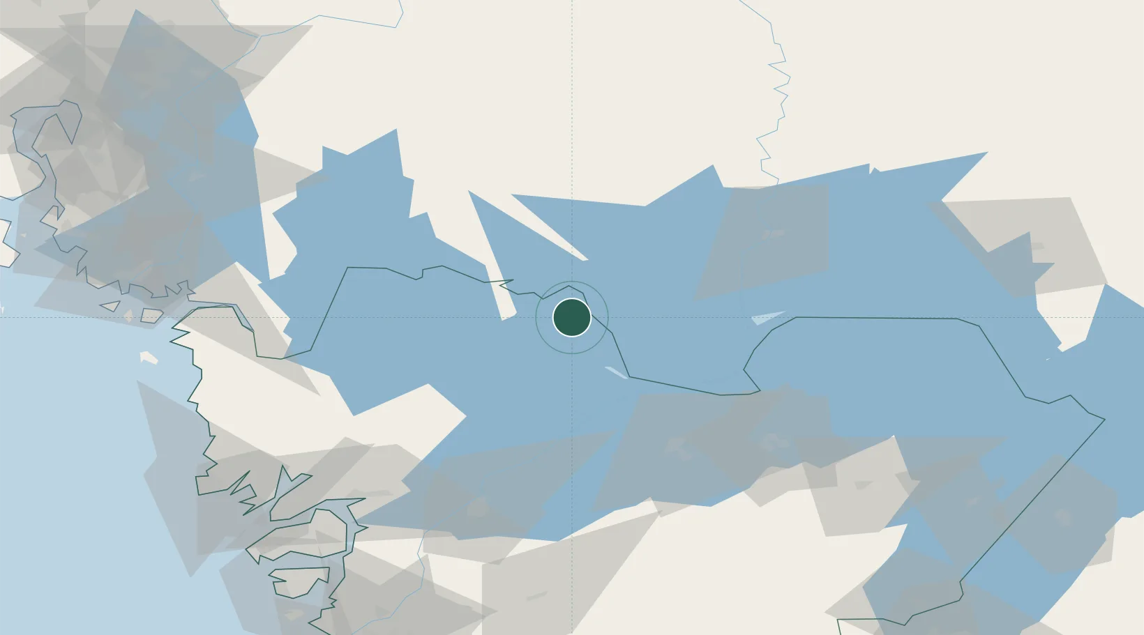
Location
Nearby Logistics Neighbours
Ports
- 1Halden76 km
- 2Stromstad89 km
- 3Uddevalla93 km
- 4Grebbestad93 km
- 5Sarpsborg94 km
Airports
- 1Karlstad Airport57 km
- 2Råda Air Base65 km
- 3Såtenäs Air Base69 km
- 4Trollhättan-Vänersborg Airport84 km
- 5Skövde Airport99 km
Trade Zones
DatabookThe Record of Consolidated Knowledge
Sweden beyond logistics?