Transport Functions
Port
Rail
Road
Hub Profile
Place type
Provincial seat
Region
Västra Götaland
Population
13,093
Time zone
Europe/Stockholm
Elevation
6 m
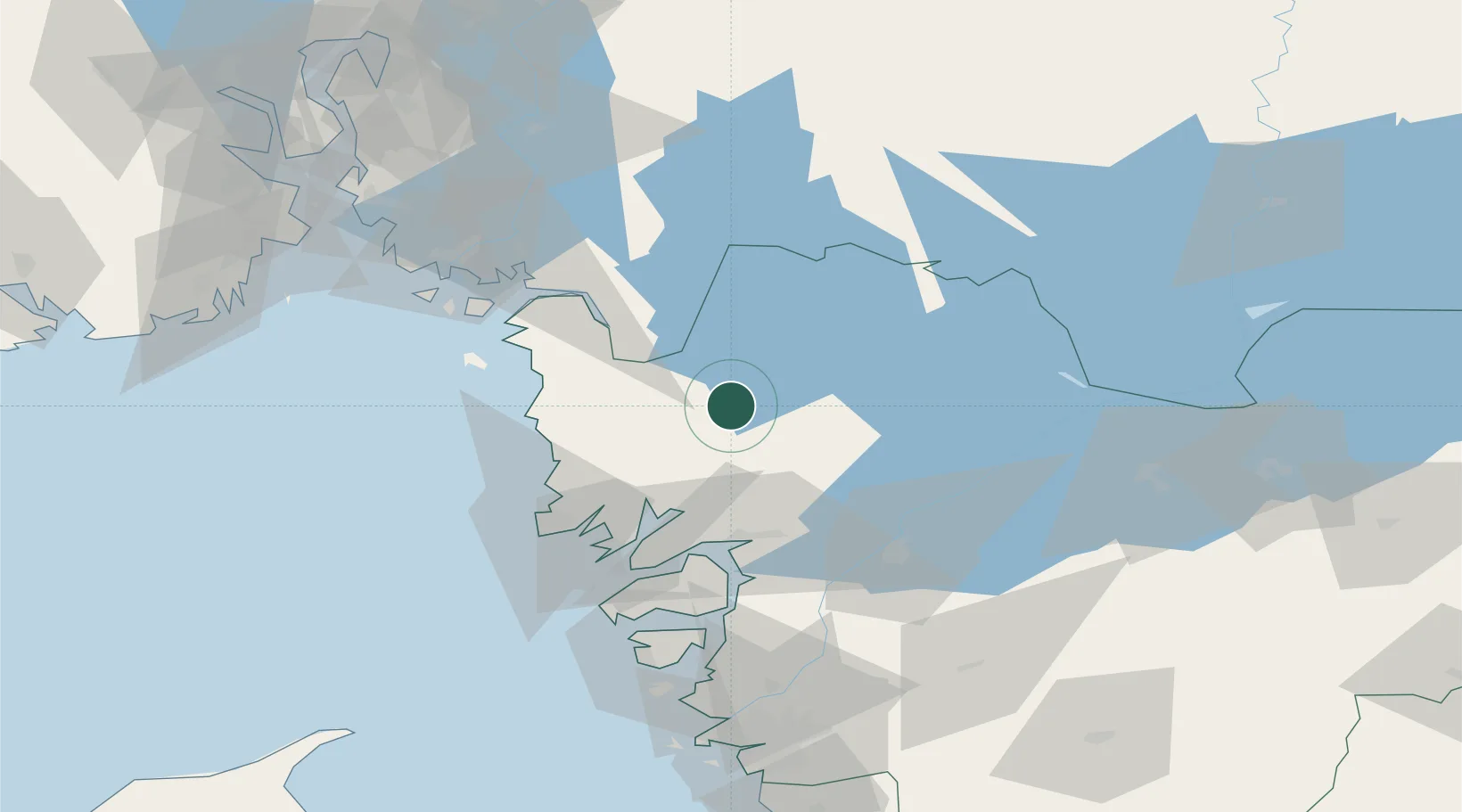
Location
Nearby Logistics Neighbours
Cities
- 1Dingle28 km
- 2Håverud35 km
- 3Frändefors39 km
- 4Sjöviken40 km
- 5Heestrand40 km
Ports
- 1Grebbestad34 km
- 2Fjallbacka35 km
- 3Bovallstrand41 km
- 4Stromstad43 km
- 5Uddevalla46 km
Airports
- 1Trollhättan-Vänersborg Airport57 km
- 2Såtenäs Air Base63 km
- 3Råda Air Base77 km
- 4Moss Airport, Rygge92 km
- 5Sandefjord Airport, Torp102 km
Trade Zones
DatabookThe Record of Consolidated Knowledge
Sweden beyond logistics?