UN/LOCODE hub · Sweden
SEFDS

Frändefors

58.5000°, 12.2833°
2
Transport functions

Transport Functions

Rail
Road
UN/LOCODE

Hub Profile

Region
O
GeoNames

Location

Location of SEFDS
Natural Earth 10m (public domain) · O · SEFDS · 58.50, 12.28GoogleOSMYandex

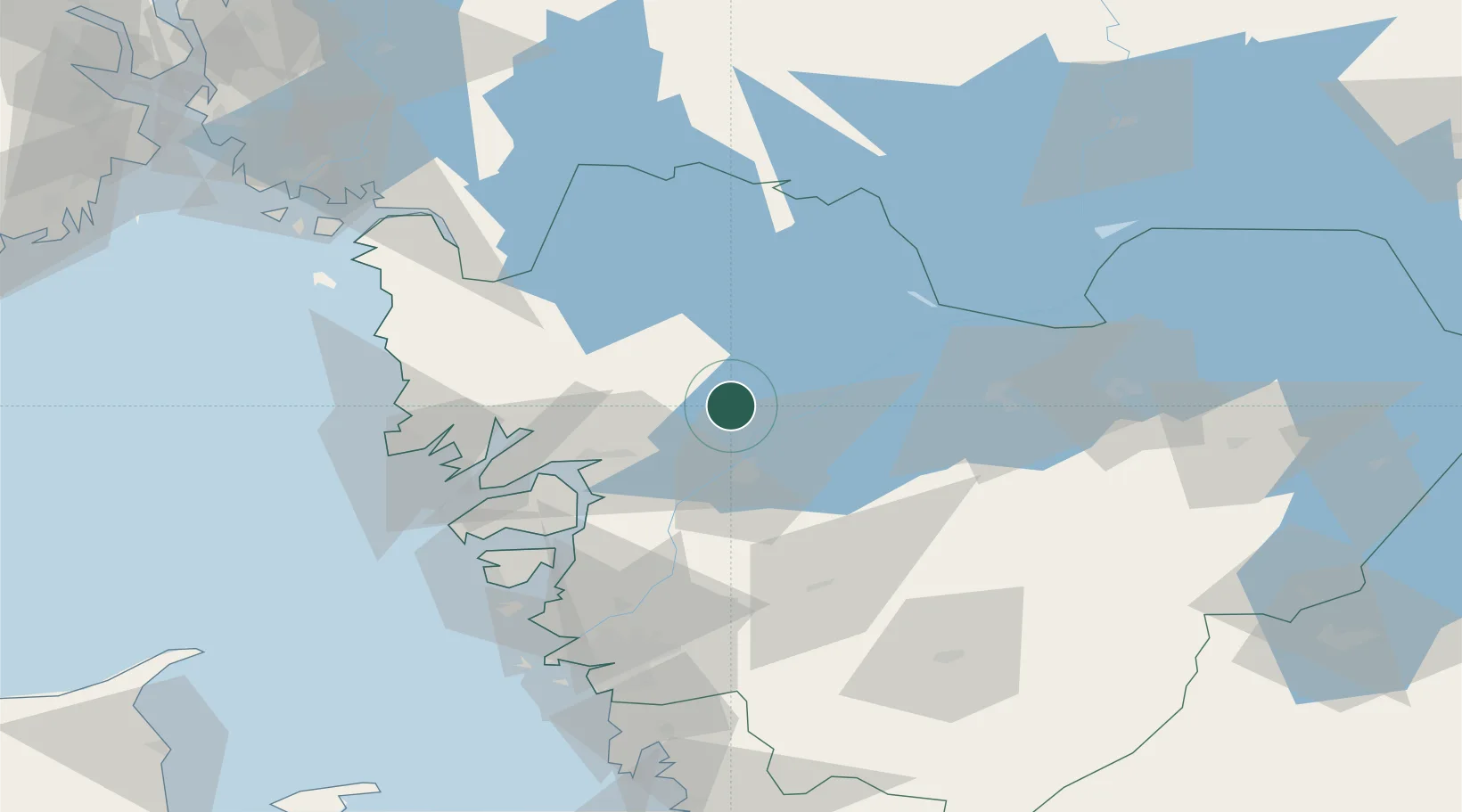
Nearby Logistics Neighbours

Cities
  1. 1Vänersborg15 km
  2. 2Vargön16 km
  3. 3Trollhättan26 km
  4. 4Uddevalla27 km
  5. 5Sjuntorp34 km
Nearest neighbours — logibook spatial index (haversine) over the source coordinates
Ports
  1. 1Uddevalla30 km
  2. 2Brofjorden53 km
  3. 3Stenungsund55 km
  4. 4Lysekil55 km
  5. 5Bovallstrand55 km
Nearest neighbours — logibook spatial index (haversine) over the source coordinates
Airports
  1. 1Trollhättan-Vänersborg Airport21 km
  2. 2Såtenäs Air Base26 km
  3. 3Råda Air Base45 km
  4. 4Säve Airport84 km
  5. 5Göteborg Landvetter Airport93 km
Nearest neighbours — logibook spatial index (haversine) over the source coordinates
Trade Zones
  1. 1Gothenburg Boundless Customs Warehouse93 km
  2. 2Jönköping Free Zone134 km
  3. 3Freeport of Copenhagen- Nordhavn310 km
  4. 4MTS Malmö Transport and Spedition326 km
  5. 5Stockholm Free Zone348 km
Nearest neighbours — logibook spatial index (haversine) over the source coordinates
DatabookThe Record of Consolidated Knowledge
Sweden beyond logistics?
Browse databook

All Sources

LocationsUN/LOCODE
UN/LOCODE — free
Portsthe NGA World Port Index
Public domain (US gov)
AirportsOurAirports
Public domain
Trade Zonesthe World Bank SEZ database
CC BY 4.0
Trade ZonesOpen Zone Map
CC BY
← Sweden locations