UN/LOCODE hub · Sweden
SEHEL
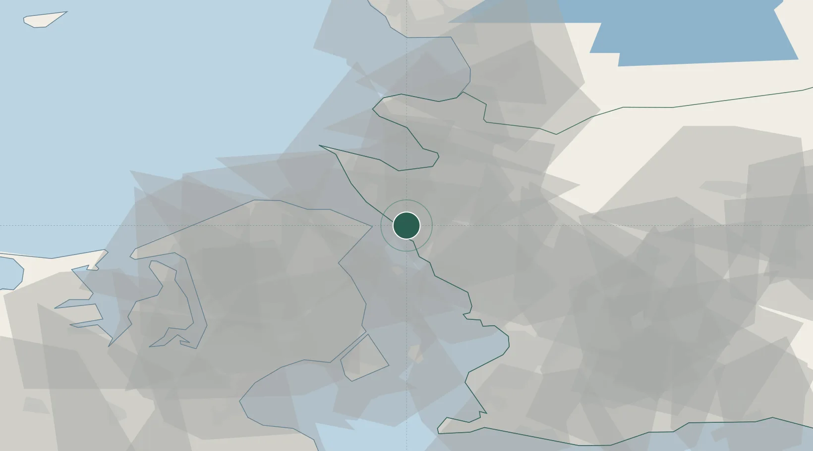
Helsingborg
56.0473°, 12.7307°
104,250
Population
3
Transport functions
2
Container terminals
Transport Functions
Port
Rail
Airport
Hub Profile
Place type
Provincial seat
Region
Skåne
Population
104,250
Time zone
Europe/Stockholm
Elevation
13 m
Logistics facilities
10
Container terminals
2
Location
Nearby Logistics Neighbours
DatabookThe Record of Consolidated Knowledge
Sweden beyond logistics?