Seaport · Denmark
KobenhavnDKCPH
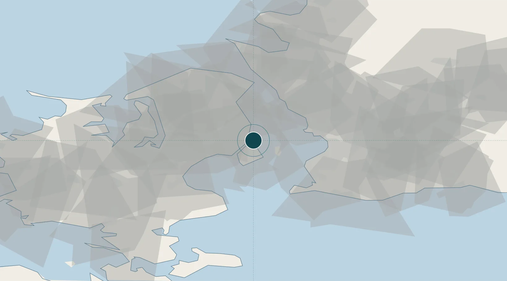
55.7000°, 12.6167°
7.9 m
Channel depth
1
Container terminals
36.9
Port liner connectivity
Channel & Berth Profile
Pilotage, Tugs & Services
Pilotage compulsoryYES
Pilotage availableYES
Pilotage advisableYES
Tug assistanceYES
Potable waterYES
Diesel bunkersYES
MedicalYES
Garbage disposalYES
Facilities & Capabilities
ContainerYES
Ro-RoYES
Liquid bulkYES
Dry bulkYES
Oil terminal—
Break bulkYES
Dry dock—
RepairsNO
BunkeringYES
Rail linkYES
Dangerous cargo—
ISPS security—
Harbour Specifications
Harbour size
Large
Harbour type
Coastal (Breakwater)
Shelter
Excellent
Water body
Baltic Sea; North Atlantic Ocean
Overhead limit
Yes
Pilotage
Yes
Liner Connectivity
36.9
PLSCI
Port Liner Shipping Connectivity Index for Kobenhavn, as published by UNCTAD for the latest available quarter. Higher values indicate stronger scheduled liner-shipping integration.
Shown relative to the highest per-port PLSCI in the dataset (1,657.9).
Location
Container Terminals · 1
CMP CONTAINER TERMINAL COPENHAGEN
CMPDK COPENHAGEN MALMO PORT (CMP)
Nearby Logistics Neighbours
Ports
- 1Tuborg3 km
- 2Landskrona22 km
- 3Limhamn23 km
- 4Malmo25 km
- 5Helsingor37 km
Cities
- 1Nordhavn2 km
- 2Dyssegard6 km
- 3Skovshoved8 km
- 4Rødovre9 km
- 5Vanløse9 km
Airports
- 1København Vandflyveplads1 km
- 2Copenhagen Kastrup Airport10 km
- 3Copenhagen Roskilde Airport33 km
- 4Malmö Sturup Airport51 km
- 5Ljungbyhed Airfield57 km
Trade Zones
DatabookThe Record of Consolidated Knowledge
Denmark beyond logistics?