Transport Functions
Rail
Road
Hub Profile
Place type
Populated place
Region
Skåne
Time zone
Europe/Stockholm
Elevation
36 m
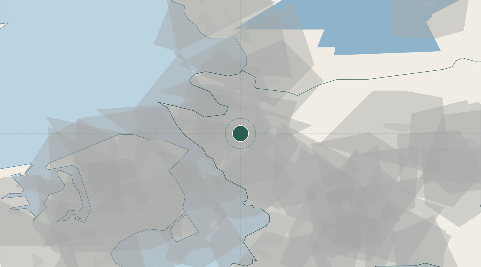
Location
Nearby Logistics Neighbours
Cities
- 1Kvidinge10 km
- 2Ödåkra11 km
- 3Helsingborg14 km
- 4Hellebæk22 km
- 5Ålsgårde22 km
Ports
- 1Helsingborg17 km
- 2Helsingor21 km
- 3Hoganas23 km
- 4Landskrona31 km
- 5Tuborg50 km
Airports
- 1Ängelholm-Helsingborg Airport18 km
- 2Ljungbyhed Airfield20 km
- 3København Vandflyveplads53 km
- 4Copenhagen Kastrup Airport59 km
- 5Halmstad Airport62 km
Trade Zones
DatabookThe Record of Consolidated Knowledge
Sweden beyond logistics?