Transport Functions
Multimodal
Hub Profile
Place type
Populated place
Region
Västra Götaland
Time zone
Europe/Stockholm
Elevation
87 m
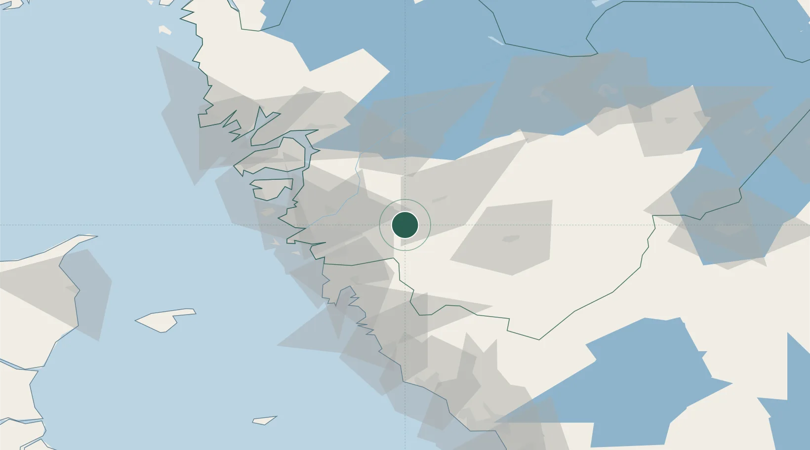
Location
Nearby Logistics Neighbours
Cities
- 1Stenkullen4 km
- 2Hindås12 km
- 3Angered16 km
- 4Landvetter16 km
- 5Klintholm Havn18 km
Ports
- 1Goteborg26 km
- 2Stenungsund46 km
- 3Marstrand47 km
- 4Uddevalla66 km
- 5Lysekil76 km
Airports
- 1Göteborg Landvetter Airport16 km
- 2Säve Airport30 km
- 3Trollhättan-Vänersborg Airport58 km
- 4Såtenäs Air Base73 km
- 5Råda Air Base88 km
Trade Zones
DatabookThe Record of Consolidated Knowledge
Sweden beyond logistics?