Transport Functions
Port
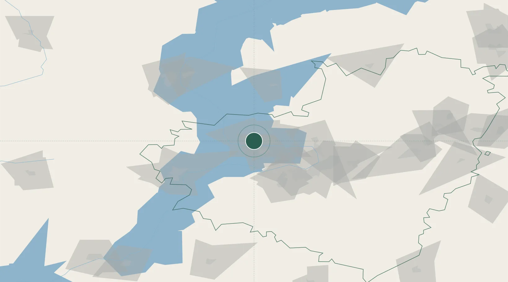
Hub Profile
Place type
Populated place
Region
Samara Oblast
Population
702,879
Time zone
Europe/Samara
Elevation
42 m
Logistics facilities
3
Location
Nearby Logistics Neighbours
Cities
- 1Tol'yatti11 km
- 2Samara69 km
- 3Ulyanovsk (Simbirsk)109 km
- 4Khvalynsk143 km
- 5Sennoy221 km
Ports
- 1Rostov-Na-Donu982 km
- 2Azov1002 km
- 3Taganrog1018 km
- 4Yeysk1091 km
- 5Mariupol1100 km
Airports
- 1Kurumoch International Airport53 km
- 2Samara Kryazh Air Base67 km
- 3Bezymyanka Airfield72 km
- 4Bobrovka Air Base99 km
- 5Ulyanovsk Vostochny Airport105 km
DatabookThe Record of Consolidated Knowledge
Russia beyond logistics?