Transport Functions
Road
Multimodal
Hub Profile
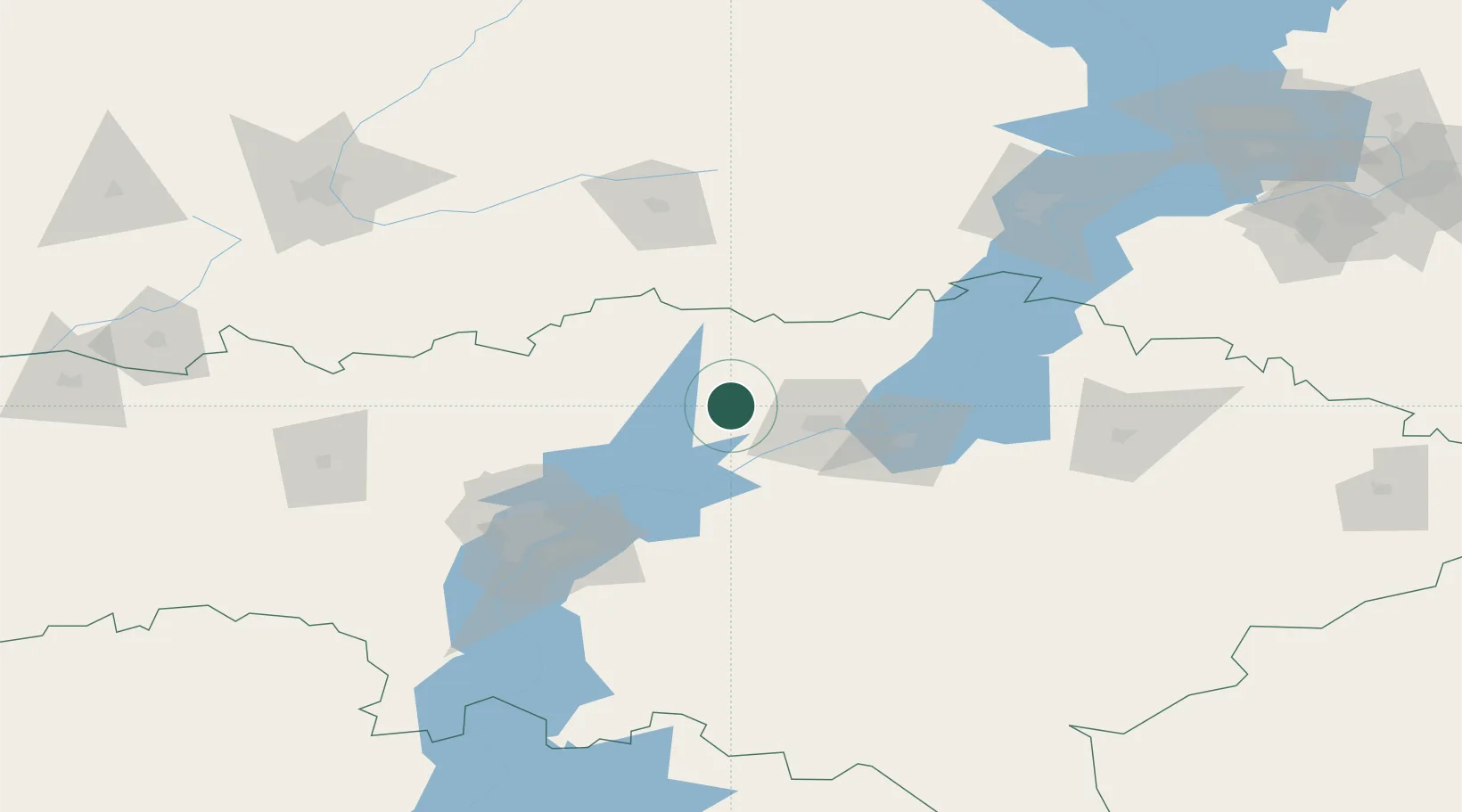
Place type
Populated place
Region
Saratov Oblast
Population
6,979
Time zone
Europe/Saratov
Elevation
48 m
Location
Nearby Logistics Neighbours
Cities
- 1Khvalynsk86 km
- 2Engels94 km
- 3Tatishchevo108 km
- 4Polsbroek124 km
- 5Ulvenhout131 km
Ports
- 1Rostov-Na-Donu761 km
- 2Azov781 km
- 3Taganrog797 km
- 4Yeysk870 km
- 5Mariupol880 km
Airports
- 1Bagay-Baranovka Air Base3 km
- 2Balakovo Airport64 km
- 3Gagarin International Airport74 km
- 4Engels Air Base92 km
- 5Penza Airport167 km
Trade Zones
DatabookThe Record of Consolidated Knowledge
Russia beyond logistics?