Transport Functions
Port
Rail
Road
Airport
Multimodal
Hub Profile
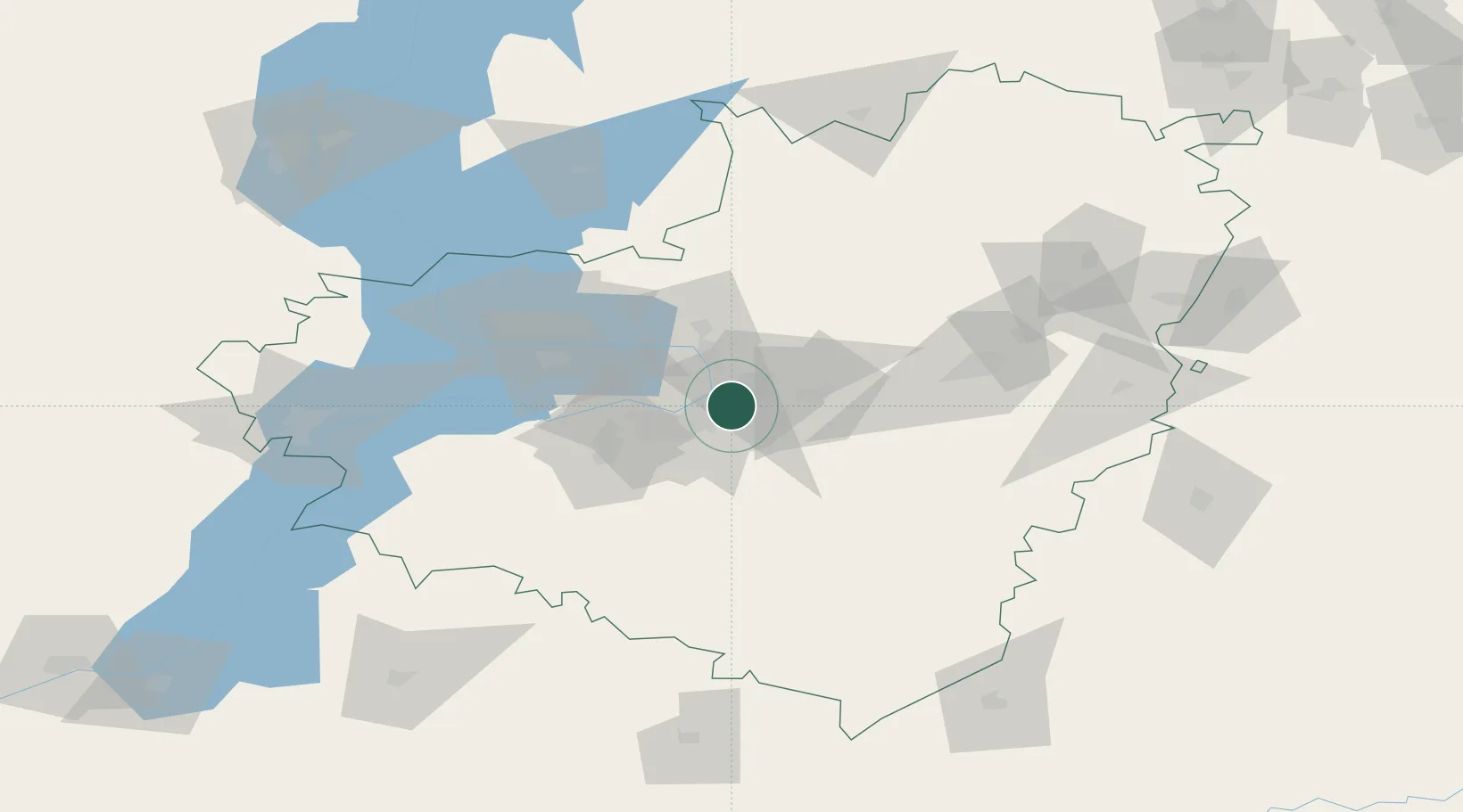
Place type
Regional capital
Region
Samara Oblast
Population
1,163,399
Time zone
Europe/Samara
Elevation
107 m
Logistics facilities
2
Location
Nearby Logistics Neighbours
Cities
- 1Tol'yatti58 km
- 2Tolyatti69 km
- 3Khvalynsk165 km
- 4Ulyanovsk (Simbirsk)175 km
- 5Semiglavyy Mar225 km
Ports
- 1Rostov-Na-Donu1004 km
- 2Azov1025 km
- 3Taganrog1043 km
- 4Yeysk1116 km
- 5Tuapse1300 km
Airports
- 1Bezymyanka Airfield6 km
- 2Samara Kryazh Air Base14 km
- 3Bobrovka Air Base31 km
- 4Kurumoch International Airport35 km
- 5Buguruslan Severny Airport152 km
DatabookThe Record of Consolidated Knowledge
Russia beyond logistics?