Medium airport · Russia
Ulyanovsk Vostochny AirportUWLW
54.4010°, 48.8027°
16,404 ft
Longest runway
1
Runways
252 ft
Elevation
Runway & Layout

Radio Frequencies
TWR
124.2 MHz
APP
127.3 MHz
ULYANOVSK APP
RDR
126.1 MHz
KRUG
Navaids
UL NDB Vostochny 408 kHz
UWS VOR-DME Vostochny 113.70 MHz
WN NDB Vostochny 408 kHz
Runways · 1
| Runway | Dimensions | Surface | True heading | Lit |
|---|---|---|---|---|
| 02/20 | 16,404 × 323ft | Concrete | 018° | ✓ |
Airport Specifications
IATA code
ULY
ICAO code
UWLW
Airport class
Medium airport
Scheduled service
Yes
Runway surface
Concrete
Served city
Cherdakly
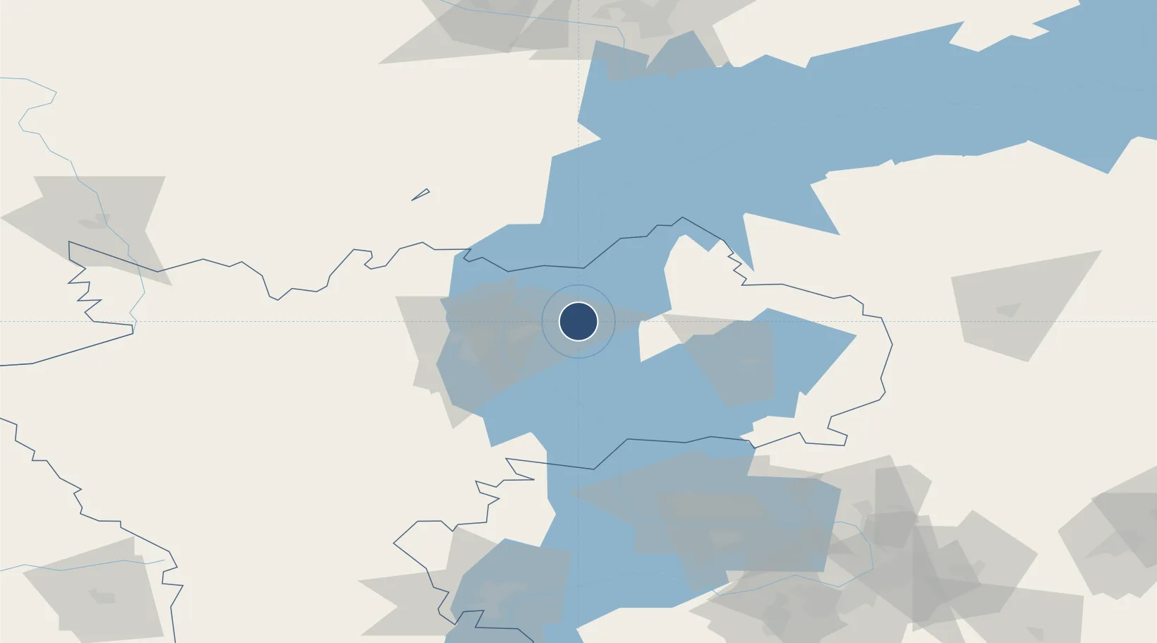
Location
Nearby Logistics Neighbours
Airports
- 1Ulyanovsk Baratayevka Airport40 km
- 2Kurumoch International Airport134 km
- 3Kazan International Airport137 km
- 4Borisoglebskoye Airport164 km
- 5Bezymyanka Airfield165 km
Cities
- 1Ulyanovsk (Simbirsk)31 km
- 2Tolyatti105 km
- 3Tol'yatti114 km
- 4Zelënodol'sk160 km
- 5Volzhsk163 km
Ports
- 1Rostov-Na-Donu1026 km
- 2Azov1044 km
- 3Taganrog1057 km
- 4Yeysk1129 km
- 5Mariupol1132 km
DatabookThe Record of Consolidated Knowledge
Russia beyond logistics?